MUNICH--(BUSINESS WIRE)--Sep 14, 2026--
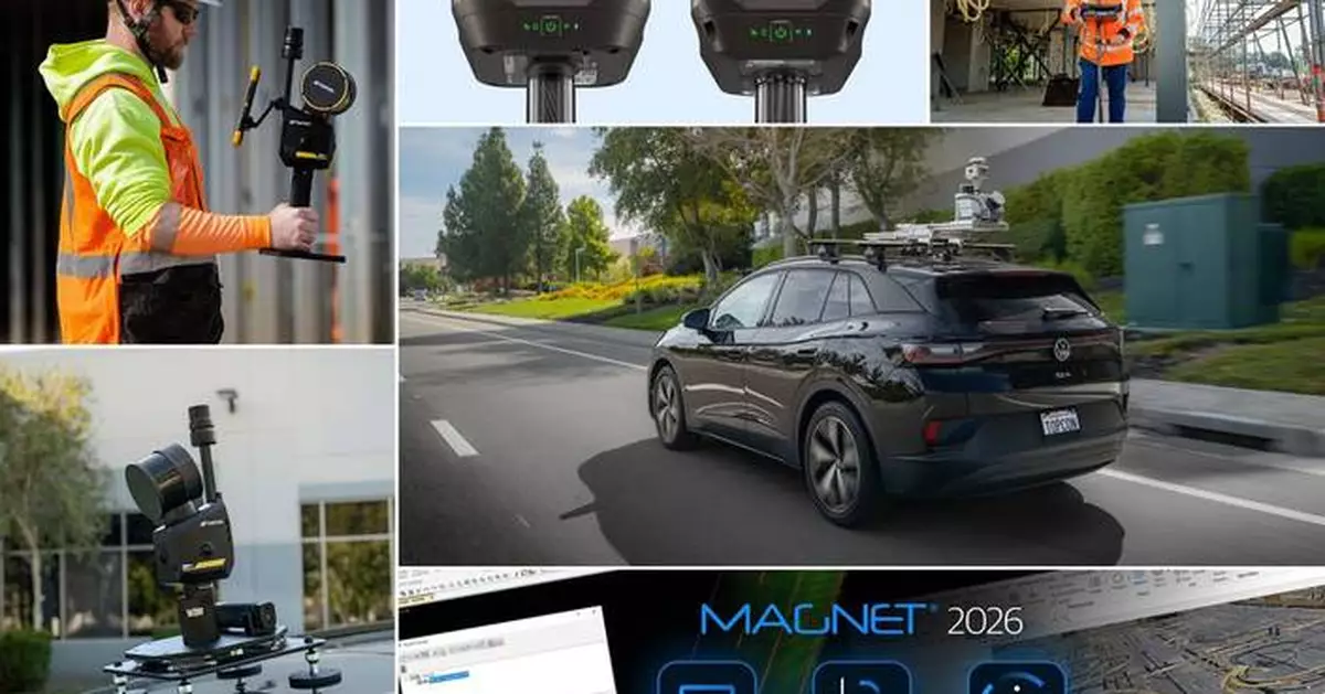
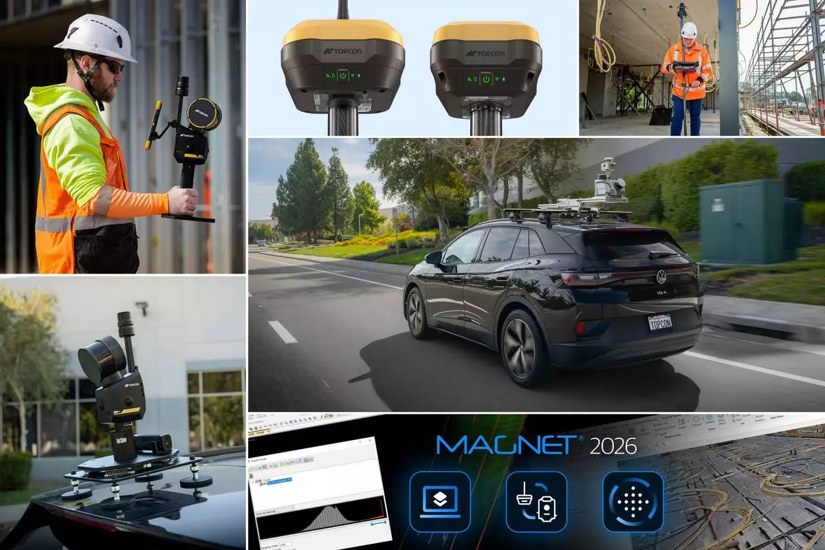
Topcon Positioning Systems announces additions to its geomatics portfolio designed to support integrated digital workflows for survey, construction, and infrastructure projects. The new solutions expand Topcon’s geospatial ecosystem, including reality capture, positioning, data management, monitoring, and subsurface intelligence technologies to improve accuracy and the flow of information on projects. The announcement was made in conjunction with INTERGEO 2026, the trade fair for geodesy, geoinformation, and land management, taking place September 15–17 in Munich, Germany.
This press release features multimedia. View the full release here: https://www.businesswire.com/news/home/20260914298196/en/
“Industry professionals are looking for flexible technologies that fit within their existing processes,” said Neil Vancans, head of Topcon Geomatics Sales. “Topcon addresses this need through open integrations, cross-platform compatibility, and connected workflows. We provide an ecosystem that helps users streamline processes, improve collaboration, and simplify the digital management of project data. These new solutions, together with continued AI integration, reflect our focus on practical, interoperable technologies for the geomatics industry.”
Additions to theCapture Reality portfolio of mass data solutions include:
The HiPer GNSS receiver portfolio is expanded with the new HiPer S1 and value-tier HiPer V1 receivers. The receivers support connected workflows by allowing positioning data collected in the field to flow directly into downstream processing and modeling software for surveying, mapping, construction, and related applications. Configurations include use as a network rover through an RTK correction service such as Topnet Live, via LongLink connectivity, or in a base and rover setup, providing flexibility for different project requirements. The receivers can be used for Hybrid Positioning, which connects robotic total stations and receivers in a single, uninterrupted workflow. The HiPer S1 and V1 support all major satellite constellations to improve positioning availability in a variety of environments.
MAGNET Field and Office 2026 software introduces workflow enhancements to the Topcon MAGNET software suite for survey and construction professionals, including expanded field-to-office connectivity, streamlined data management, and support for integrated positioning. The software is designed to help users collect, manage, and transfer project data more efficiently between field crews and office teams, supporting connected digital workflows across multiple projects and equipment platforms.
Delta Watch powered by GEOvis is a cloud-based workflow platform that brings advanced visualization, reporting, alarms, project administration, stakeholder communication, and geodetic network adjustment into the Delta Solutions deformation monitoring system. Developed with Amberg Infra 7D and based on GEOvis technology, Delta Watch integrates automated and manually collected data from total stations, GNSS receivers, and geotechnical, structural, and environmental sensors. The platform helps teams streamline monitoring workflows, improve accuracy through least-squares adjustment, and manage project data in one connected environment.
A collaboration is announced with Proceq, a Screening Eagle Company, enabling Proceq advanced ground penetrating radar (GPR) systems to be used with Topcon GNSS solutions and mass data workflow software. This collaboration will support applications across infrastructure and construction projects in Europe, the Middle East, and Africa (EMEA), connecting subsurface information with geospatial data to support more informed analysis and decision-making.
Visit the Topcon website for more information about solutions showcased at INTERGEO 2026.
About Topcon Positioning Systems
Topcon Positioning Systems is an innovation company focused on delivering precision technologies and workflow solutions for the global construction, geomatics, and agriculture markets. Topcon Positioning Systems ( topconpositioning.com ) is headquartered in Livermore, California, U.S. Its European head office is in Zoetermeer, Netherlands. Parent company Topcon Corporation (topcon.com), founded in 1932, is headquartered in Tokyo, Japan.
Topcon Positioning Systems announces additions to its geomatics portfolio designed to support integrated digital workflows for survey, construction, and infrastructure projects. The new solutions expand Topcon’s geospatial ecosystem, including reality capture, positioning, data management, monitoring, and subsurface intelligence technologies to improve accuracy and the flow of information on projects.