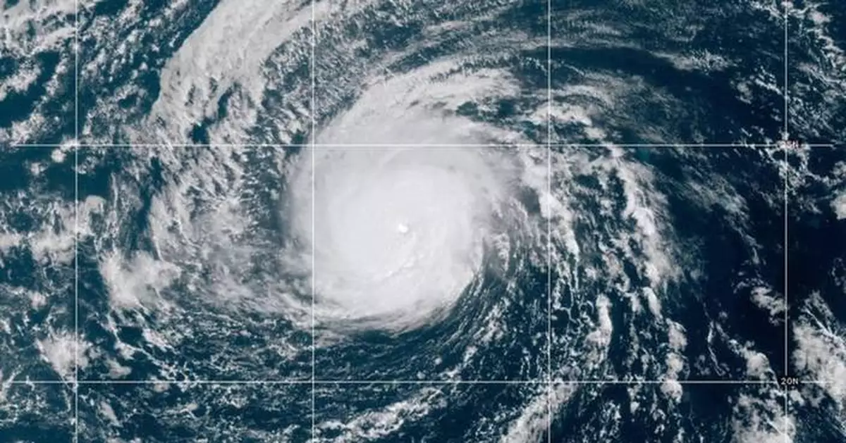
Nolo strengthened into a major hurricane Saturday in the remote Pacific Ocean, far to the west of Hawaii's main islands and population centers.
The storm's maximum sustained winds rapidly intensified to 120 mph (195 kph), the Miami-based National Hurricane Center reported, meaning it was a Category 3 hurricane.
As of the afternoon, Nolo was located about 195 miles (310 kilometers) south of Lisianski Island and moving westward at 20 mph (31 kph).
A tropical storm warning was issued for the Papahanaumokuakea Marine National Monument — a massive and remote federally protected area with islands, atolls, seamounts, shoals and coral reefs — from Maro Reef to Lisianski Island.
The hurricane center said large surf associated with Nolo “will likely inundate some of the low-lying atolls.”
No threat was in the forecast for any populated islands, however.
The hurricane center said Nolo was expected to cross the international date line Sunday.
Nolo skirted Hawaii as a hurricane a week ago. It then lost some of its punch and became a tropical storm, before regaining hurricane strength Friday.
Meanwhile another Pacific hurricane, Category 1 Rachel, continued heading westward on a path away from the west coast of Mexico.
Dangerous swells were forecast through the weekend for the coast of west-central Mexico and through Monday for the Baja California Peninsula, according to the hurricane center.
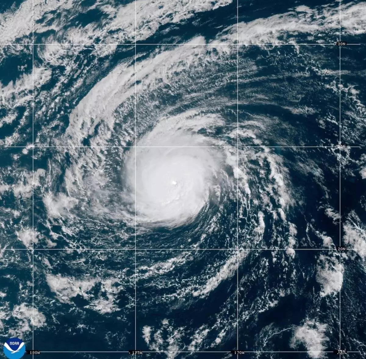
This satellite image from the National Oceanic and Atmospheric Administration shows Hurricane Nolo in the Pacific Ocean, west of Hawaii on Saturday, Oct. 3, 2026. (National Oceanic and Atmospheric Administration via AP)
An air ambulance carrying six people may have been “coming in blind” with electrical problems when a storm loomed ahead of it early Saturday shortly before it vanished in the waters off Nantucket.
The pilot reported electrical problems and declared an emergency as it approached the coast on the flight from Bermuda, according to air traffic control audio posted by LiveATC.net. “Roger, you said you’re coming in blind. Is that what you said?” a controller can be heard asking the pilot.
That makes Mary Schiavo, who is a former Inspector General of the Transportation Department, think the plane may have lost its navigational instruments just as a storm moved across its path on radar. The plane also descended sharply from its cruising altitude of around 24,000 feet to around 10,000 feet, according to preliminary data from flight tracking site FlightRadar24.
“Something bad happened with this big drop, and they flew into this big storm. It’s a terrible place to have a loss of your instruments and be flying blind,” said Schiavo, who is an aviation attorney. “It’s very easy to get disoriented and not know if you’re turning, climbing, descending, etc. Spatial orientation hits pretty quickly.”
The Canadian-registered air ambulance jet had four crew members and two passengers aboard when it departed Bermuda’s L.F. Wade International Airport overnight for the flight to Massachusetts, according to a statement from the Bermuda airport's operator, Skyport.
Four of the six people on board the flight that went missing early Saturday were Canadian nationals, the country’s Minister of Transport Steven MacKinnon said on X. Transport Canada is closely monitoring and working with authorities on search and rescue efforts, he said.
The Coast Guard said the Federal Aviation Administration reported that the Gulfstream G100 had lost contact very early Saturday morning. The search for the jet included crews in the air and on the water, the Coast Guard said.
The National Transportation Safety Board said it was gathering information about the situation Saturday, but did not say immediately if it would investigate.
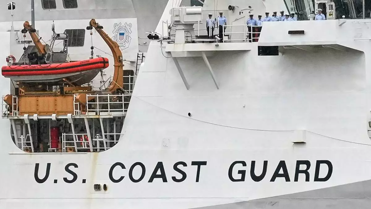
FILE - A U.S. Coast Guard cutter is seen in New York on May 21, 2025. (AP Photo/Richard Drew, File)