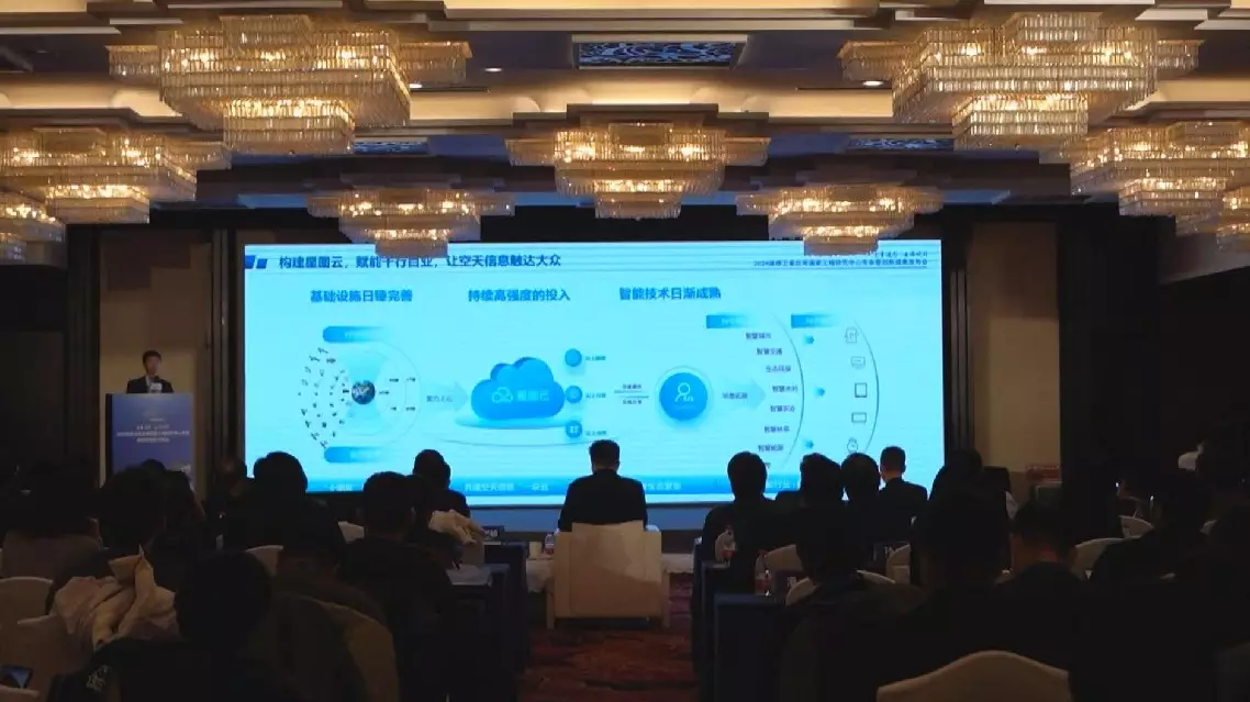
Seven categories of cutting-edge remote sensing innovations and a cloud-based open platform were unveiled at a press conference on Friday in Beijing, promising to enhance satellite data applications across a wide range of industries.
The event, themed "Quantitative Remote Sensing: Empowering Industries via the Cloud", was co-hosted by the National Engineering Research Center for Remote Sensing Satellite Applications, and the Aerospace Information Research Institute (AIRI) under the Chinese Academy of Sciences (CAS).
It featured the release of 21 common quantitative remote sensing products spanning seven categories including vegetation ecology, water resources, soil, and atmospheric applications.
"Quantitative remote sensing products translate ground observations into measurable physical quantities. For example, crops supply food to humanity through photosynthesis, but how much do they actually produce? By using indicators such as leaf area index or evapotranspiration, we can quantify the solar energy absorbed, enabling detailed and precise analysis. It's fair to say that quantitative remote sensing is deeply connected to people's livelihoods, production, and social development," explained Zhang Bing, director of the National Engineering Research Center for Remote Sensing Satellite Applications.
The event also marked the launch of the GEOvis cloud-based open platform, jointly developed by the National Engineering Research Center for Remote Sensing Satellite Applications and GEOvis, a leading digital Earth technology provider in China.
The platform integrates the seven categories of quantitative remote sensing products into cloud-based services, significantly expanding application scenarios and unlocking potential across various industries.
"We aim to deliver high-quality, standardized common quantitative remote sensing products released today for the entire industry, with robust government support. By making these products directly accessible, we can lower the threshold of applications and enhance the overall performance of remote sensing satellite applications," said Wu Yirong, head of the AIRI, CAS.
Remote sensing innovations, cloud-based platform unveiled in Beijing