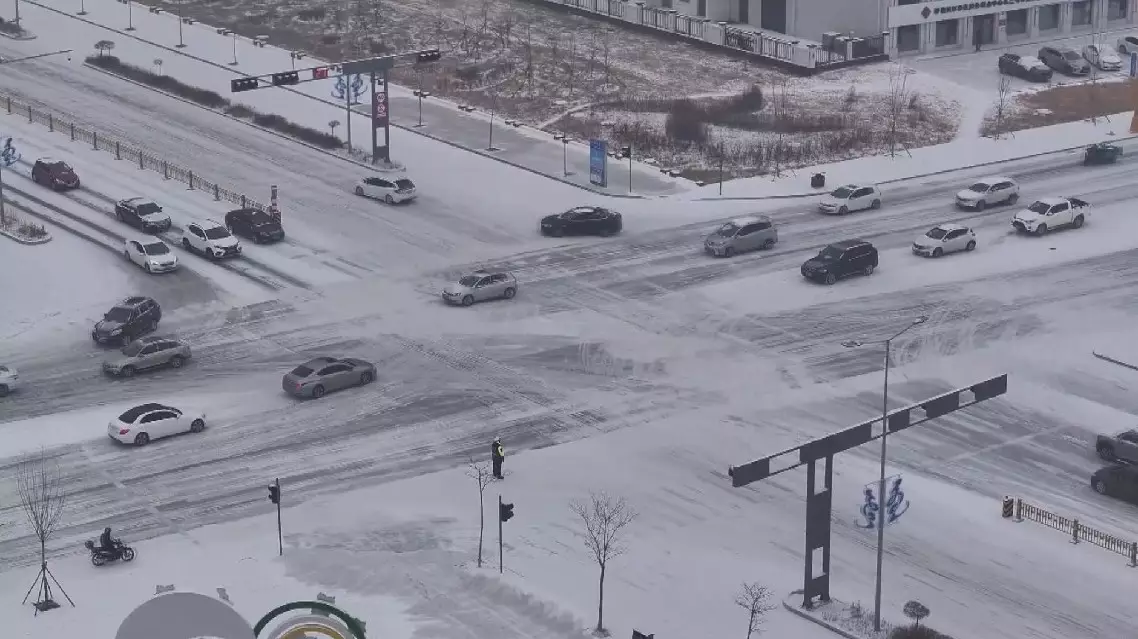
A new wave of strong cold front started sweeping across northern China on Sunday, and will continue moving eastward and southward over the next few days, bringing strong winds and big temperature drops in its path.
Meteorological monitoring showed that gales ranging from 39 to 74 km/h occurred in parts of Inner Mongolia, Shanxi, the Beijing-Tianjin-Hebei area, Shandong, Liaoning, Jilin, and Heilongjiang. In some areas in Inner Mongolia, Heilongjiang, Jilin, and Liaoning, temperatures on Monday morning were 6 to 10 degrees Celsius lower than the previous day. The temperature drop was particularly drastic in central and eastern Inner Mongolia, reaching 12 to 18 degrees Celsius.
The Central Meteorological Observatory predicts the cold wave to continue affecting areas north of the Yangtze River between Monday and Tuesday. Temperatures are expected to tick downward by 4 to 6 degrees Celsius in most areas.
The northeastern provinces of Liaoning, Jilin, and Heilongjiang could experience temperature drops of 8 to 10 degrees Celsius, with some places recording a decline of over 12 degrees. Light to moderate snow or sleet are forecast in parts of northeastern Inner Mongolia, northern Heilongjiang, and northern and southwestern Xinjiang.
Cold snap hits north China, bringing sharp temperature drops