The inland-ocean boundary line at the Pinglu Canal in south China's Guangxi Zhuang Autonomous Region, a core component of the New International Land-Sea Trade Corridor, was released on Friday.
According to the Guangxi Maritime Safety Administration and the Guangxi Department of Transportation, the vertical projection line of the south edge of the bridge deck of the Qinjiang Bridge is demarcated as the reference axis, with the north side of the line determined as the inland water area, and the south side as the sea area.
The bridge is on the G75 Expressway from Lanzhou City in northwest China's Gansu Province to Haikou City in south China's Hainan Province.
The 134.2-kilometer canal is scheduled to be fully navigable in September this year.
Upon completion, the canal would wind its way across Nanning and Qinzhou of Guangxi until it reaches the Beibu Gulf. It is expected to serve as an artery for river-sea inter-modal transportation in the southwestern part of the country.
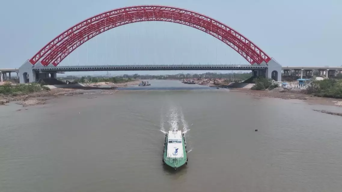
Inland-ocean boundary line demarcated for Pinglu Canal