China's national observatory on Friday morning issued an orange alert, the second-highest in its four-tier system, for Typhoon Noul, the 12th typhoon of the year, as it forms and heads toward the coast of southeastern China.
At 05:00 on Friday, the center of Typhoon Noul was located about 560 kilometers northeast of Manila, the Philippines, on the ocean surface. It is forecast to move west by north at a speed of 25 to 30 kilometers per hour, according to the National Meteorological Center (NMC).
It is expected to make landfall along the coast from Zhuhai in south China's Guangdong Province to Zhangpu in the eastern province of Fujian on Saturday night through Sunday morning, after which it will turn northward and gradually weaken in intensity.
From 08:00 on Friday to 08:00 on Saturday, heavy to torrential rainfall is expected in parts of eastern and southern Taiwan Island.
Meanwhile, strong winds are expected in the northeastern part of the South China Sea, the Bashi Channel, the sea areas east of Taiwan, the Taiwan Strait, the southern part of the East China Sea, as well as coastal areas of Taiwan, Fujian and the central and eastern parts of Guangdong.
In response to Typhoon Noul, the State Flood Control and Drought Relief Headquarters activated a Level IV emergency response for flood and typhoon control in Guangdong and Fujian at 09:00 on Friday.
"Under the influence of the typhoon after its landfall, the mountainous areas in eastern and northeastern Guangdong, as well as eastern Fujian, will experience pronounced heavy precipitation. Due to the compounding effect of rainfall and terrain, the disaster risk is very high. From a risk assessment perspective, the cumulative rainfall over this entire process will be relatively large, and the intensity at individual points will also be quite high. Therefore, we need to pay particular attention to the impact of heavy rainfall on geological disasters in mountainous areas," said Xiang Chunyi, a chief forecaster at the NMC.
"Prior to the typhoon's landfall, there will be very significant gale-force winds along the coastal area. We special remind vessels navigating in the northern South China Sea and offshore oil platforms to make advance preparations for wind protection and evacuation," said Xiang.
According to monitoring and forecasting by the NMC and the Guangdong Provincial Meteorological Observatory, the Guangdong Provincial Flood Control, Drought Relief and Typhon Prevention Headquarters activated a Level IV emergency response for typhoon prevention at 09:00 on Friday.
Affected by the typhoon, Guangdong's Shenzhen City is expected to experience heavy rainfall on Sunday, with significant precipitation continuing through next Monday and Tuesday.
According to Shenzhen's meteorological observatory, the city is experiencing hot temperature on Friday, transitioning to thundershowers on Saturday, with localized heavy rain accompanied by thunderstorms and strong winds.
The maximum hourly rainfall intensity is expected to reach 80 millimeters, with the maximum 24-hour rainfall at a single weather station reaching approximately 180 millimeters, according to the meteorological observatory's forecasting, said Shenzhen's meteorological observatory
The Fujian Provincial Flood Control and Drought Relief Headquarters activated a Level IV emergency response for typhoon prevention at 09:00 on Friday, in preparation for the typhoon's impact.
Meanwhile, the Fujian Maritime Safety Administration has activated a Level III emergency response for typhoon prevention. All 61 offshore construction projects in the waters off Zhangzhou, Xiamen and Quanzhou have been fully suspended, while all vessel towing and sea trial operations have been halted.
Small vessels such as yachts are required to cease operation before noon on Friday, and a total of 14 passenger ferry routes in the three cities will be fully suspended before 18:00 on Friday.
As Typhoon Noul approaches, the Ministry of Transport has activated a Level III typhoon-prevention response. The ministry is strictly implementing proactive prevention measures for disastrous weathers, while also pre-positioning emergency response forces. The ministry said it will adjust the response level in a timely manner based on changes in weather warnings.
China has a four-tier, color-coded weather warning system for typhoons, with red representing the most severe warning, followed by orange, yellow and blue. It also has a four-tier flood-control emergency response system, with Level I being the most severe.
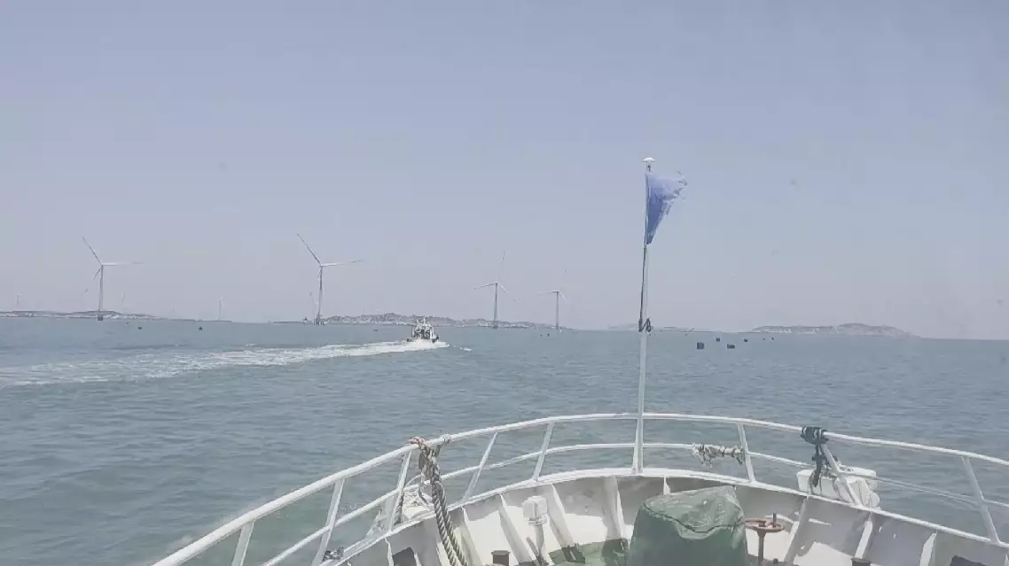
China issues orange alert for Typhoon Noul