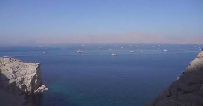
A new documentary, "Diaoyu Dao: Small Islands, Big Stakes", will premiere Monday on China Global Television Network (CGTN), offering a comprehensive look at the historic and legal dispute between China and Japan over the Diaoyu Dao in the East China Sea.
For more than a century, the small group of islands in the East China Sea has remained at the heart of competing historical narratives, legal debates and tensions between China and Japan. Drawing on rare archives, historical maps, firsthand accounts and on-the-ground reporting, the CGTN's new documentary examines how history continues to shape the present and why these islands matter far beyond their size.
The documentary focuses on the dispute between China and Japan over the sovereignty of Diaoyu Dao and its affiliated islands. Filmed across China, Japan, the United States, and the United Kingdom, it features interviews with more than 30 experts and scholars specializing in politics, history, and law from both China and abroad, as well as key figures who witnessed pivotal historical events.
Backed by factual evidence and legal analysis, the film presents a clear, multidimensional and authentic perspective on China's Diaoyu Dao through documentary footage and multiple viewpoints.

Documentary "Diaoyu Dao: Small Islands, Big Stakes" set to premiere on CGTN
Chinese meteorologists have deployed a swarm of drones for the first time to conduct three-dimensional observations throughout the entire passage of Typhoon Noul, providing new data to improve forecasting and disaster response.
The experiment began on Friday at the China Meteorological Administration's field research base for low-altitude weather observation in Shenzhen, south China's Guangdong Province, as meteorological researchers tracked Noul, the year's 12th typhoon.
Unlike a single drone, the drone swarm consists of multiple unmanned aircraft operating in coordination to simultaneously collect meteorological data at different locations and altitudes.
The drones continuously measured key low-altitude atmospheric conditions before, during and after the typhoon, including temperature, humidity, wind fields and turbulence. Researchers also monitored flight performance data to assess the operational limits of drones under extreme weather conditions.
The administration said the technology enables high-density, three-dimensional sampling of the lower atmosphere, helping fill gaps in offshore low-altitude observations. The data are expected to improve typhoon monitoring and forecasting while supporting the safe operation of drones in severe weather.
Noul landed near the coastal town of Pinghai in Huidong County, Huizhou City, at around 03:50 on Sunday, packing maximum sustained winds of 162 kilometers per hour.
It waned to a severe tropical storm and is tracking northward toward neighboring Hunan Province in central China.
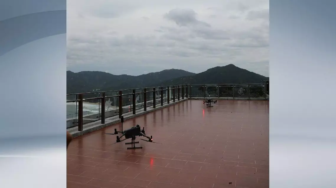
Drone swarm deployed for full typhoon observation