Provinces in eastern China like Zhejiang and Jiangsu have employed overall "maps" of natural resources to streamline approval procedures for major projects.
The projects include a highway in Zhejiang's Taizhou City which is under construction at full steam.
As the project involves multiple spatial resources of different attributes such as land, forest land and sea areas, it took at least six months to complete all the approval procedures for such a project in the past.
Thanks to the province's overall "map," the time for approving the project was shortened to two months, with the number of documents involved in the process reduced from 107 to 68.
Li Jiayin, deputy director of the Zhejiang Provincial Department of Natural Resources, said the procedures can be conducted simultaneously by different departments rather than one by one so that efficiency is greatly enhanced.
It is the overall "map" that integrates space data from 45 provincial departments in Zhejiang that enables the simultaneous review. Since the beginning of the year, more than 70 major projects have been handled in this manner.
"We've worked with the departments of agriculture and rural affairs and forestry to get a clear picture of all kinds of resources in the province, including cultivated land, permanent basic farmland, high-standard farmland, grain production functional areas, forest land, garden plots, and grassland, and incorporated them into a single map for joint management and sharing," Li said.
The "map" has been used for 9.1 billion times, reduce the number of needed application documents by 40 percent and the reviewing efficiency enhanced by 60 percent.
With the assistance of artificial intelligence, another overall "map" has also helped Nanjing City, the provincial capital of Jiangsu, to select a factory area within a few minutes for a hydraulic equipment project, which is expected to produce 1.5 million hydraulic products every year after being put into service.
Previously, the procedures, including on-site inspections, application and reviewing, were very complicated, but AI technology has enabled local authorities to use the "map" in a smarter way.
"After we input relevant requirements, such as land use nature, building height, floor area ratio, and building density, the system automatically generated a plan for a site that met the conditions within a few minutes," said Ji Chengyuan, deputy director of the Jiangning branch of the Nanjing Municipal Bureau of Planning and Natural Resources.
The "map" serves as a spatial database integrating factors such as geography, property rights, and planning to support the full-service management of natural resources in the province.
By accessing large-scale AI models, it has covered over 30 intelligent application scenarios such as smart land selection, data-driven land acquisition, and efficient land use, serving six core business types, namely planning coordination, element guarantee, resource protection, disaster prevention and control, law enforcement and supervision, and government services.
This year, 477 or 86.7 percent of the 550 provincial-level major projects in Jiangsu have gained gain land resources, with the average time for putting a project into implementation accelerated by more than 70 days compared to previous years.
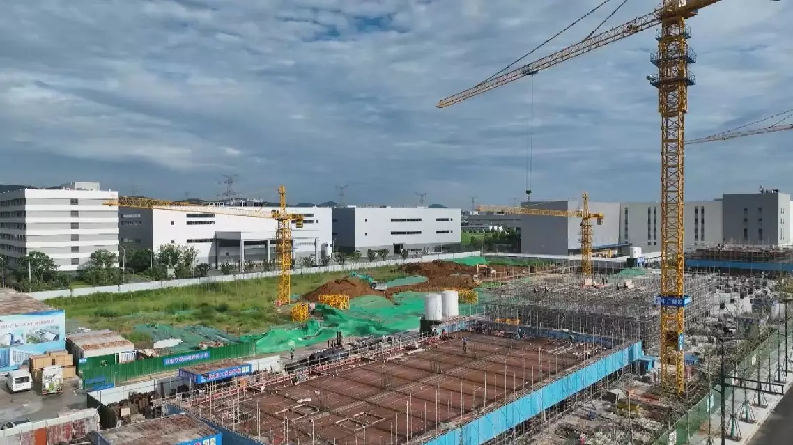
Overall "maps" of natural resources help streamline project approval in Zhejiang, Jiangsu