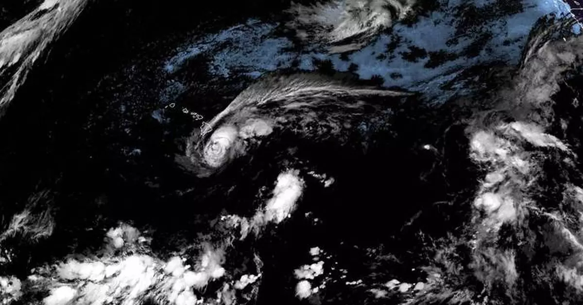
HONOLULU (AP) — Tropical Storm Lala was already whipping and soaking Hawaii’s Big Island early Saturday, and was expected to strengthen into a hurricane as it approaches land. The National Hurricane Center issued a rare hurricane warning for the island, where it would be the first to make landfall in 155 years.
Forecasters said higher elevations could get as much as 25 inches (63.5 centimeters) of rain. That could cause life-threatening mudslides in a mountainous area where people live off the grid in improvised housing, and authorities urged them to find safe shelters quickly.
Click to Gallery
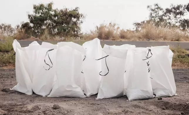
Sandbags are seen at a Hawaii County Department of Public Works sand pile ahead of Tropical Storm Lala in Kailua-Kona, Hawaii, Friday, Aug. 14, 2026. The tropical storm is forecast to strengthen into a hurricane as it approaches Hawaii, with up to 25 inches of rain possible on the island of Hawaii, also commonly known as the Big Island. (Stephen Lam/San Francisco Chronicle via AP)
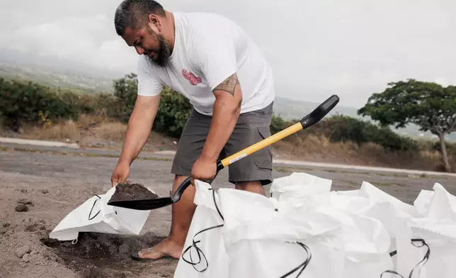
Casey Delaries makes a sandbag in preparation for Tropical Storm Lala in Kailua-Kona, Hawaii, Friday, Aug. 14, 2026. The tropical storm is forecast to strengthen into a hurricane as it approaches Hawaii, with up to 25 inches of rain possible on the island of Hawaii, also commonly known as the Big Island. (Stephen Lam/San Francisco Chronicle via AP)
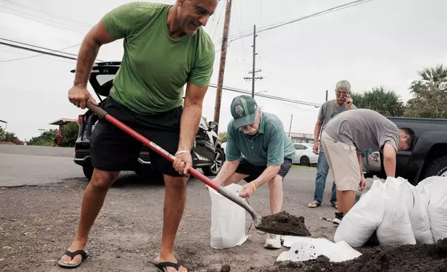
Shaheer Faltas, left, and his father-in-law, Joe Brosnan, fill sandbags in preparation for the arrival of Tropical Storm Lala in Captain Cook, Hawaii, Friday, Aug. 14, 2026. (Stephen Lam/San Francisco Chronicle via AP)
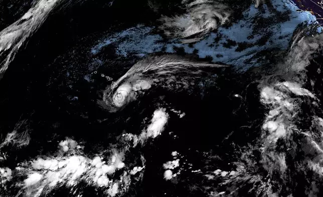
This satellite image released by NOAA shows Tropical Storm Lala over the Pacific Ocean, near Hawaii, Saturday, Aug. 15, 2026. (NOAA via AP)
“This is an enormous storm,” Gov. Josh Green said. Tropical storm force winds extended outward for as much as 220 miles (350 km), and were expected to hit the islands of Oahu and Kauai by Sunday morning.
Destructive flooding and even wildfires kicked up by the strong winds were possible in the islands. A hurricane warning was issued for the Big Island, and a tropical storm warning was in effect for Maui County, which includes the islands of Maui, Molokai, Lanai and Kahoolawe.
According to a University of Hawaii atmospheric scientist's research of newspaper accounts, a Category 3 hurricane hit the northeast corner of the island in 1871. The latest forecast has Lala striking "very close to the southern tip of the Big Island,” said Vanessa Almanza, a weather service meteorologist in Honolulu.
Officials and residents braced for Lala regardless of whether Hawaii takes a direct hit. Shelters were scheduled to open, and various events were canceled.
“It doesn’t take landfall to create destruction,” Almanza said, noting that a lot of the impacts are felt outside the hurricane's center.
The hurricane center predicted 8 to 12 inches (20.3 to 30.5 centimeters) of rainfall totals across Maui and lower elevations of the Big Island, and 4 to 6 inches (10.2 to 15.2 centimeters) across the island chain.
The center also warned that the storm could cause “life-threatening flooding and mudslides, especially in areas of steep terrain,” along with a dangerous storm surge and ocean swells “likely to cause life-threatening surf and rip current conditions.”
As of 2 a.m. in Hawaii, Tropical Storm Lala was located about 140 miles (225 kilometers) southeast of South Point, Hawaii, with maximum sustained winds of 65 mph (100 kph) and was moving toward the west-northwest at 13 mph (20 kph), the hurricane center said.
State Rep. Jeanné Kapela traveled from Honolulu to be closer to her constituents on the Big Island and urged people to remain alert.
The southern end of the island is remote and rural, with agriculture including coffee and cattle, but it's growing in population because of its affordability. Kapela said she was especially worried about people who live off the grid in unpermitted structures.
“If you feel now that your house doesn’t have a great roof or might not be able to withstand hurricane force winds, then first things first you go to a family or friend’s house and you kind of hunker down there,” she texted to The Associated Press as her flight took off Friday. “We're hopeful the storm moves through quickly, but we're preparing for whatever comes.”
Many parts of Hawaii are still dealing with the aftermath of devastating flooding in March, Kapela said. “We know how quickly heavy rain and flooding can impact our rural communities.”
Growers still recovering from the spring floods, including on Oahu’s North Shore, were worried about suffering more damage, according to Brian Miyamoto, executive director of the Hawaii Farm Bureau.
Coffee farmer Bruce Corker said it was “sunny and beautiful” Friday in Holualoa, on the west side of the Big Island, and the island's only Costco seemed normal a day earlier, but the prospect of “streams overflowing and high winds” was worrisome.
As winds ramped up across the islands, Almanza said dry and breezy conditions outside the storm would elevate fire concerns.
In 2023 the Maui town of Lahaina burned during extreme winds as a hurricane passed far to the south.
“Since the fire, everybody is way more aware of weather in general and our environment and things that are happening,” said Archie Kalepa of Lahaina, who is well known in the area for his surfing, paddling and other ocean skills and has been watching the storm closely.
Kauai, which is several islands northwest up the archipelago from the Big Island, saw Hurricane Iniki make landfall as a Category 4 hurricane in 1992. That, like this year, was an El Nino year, when a warming of the Pacific near the equator increases Pacific hurricane activity and affects weather patterns across the globe.
“It did $3 billion worth of damage. It destroyed thousands of homes, and it did kill six people,” said Steven Businger, the University of Hawaii professor who researched the 1871 hurricane. “We just can never know if a storm is going to turn.”
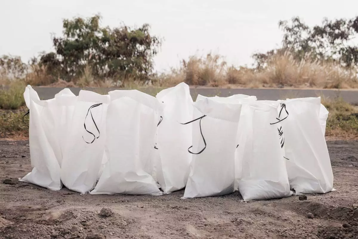
Sandbags are seen at a Hawaii County Department of Public Works sand pile ahead of Tropical Storm Lala in Kailua-Kona, Hawaii, Friday, Aug. 14, 2026. The tropical storm is forecast to strengthen into a hurricane as it approaches Hawaii, with up to 25 inches of rain possible on the island of Hawaii, also commonly known as the Big Island. (Stephen Lam/San Francisco Chronicle via AP)
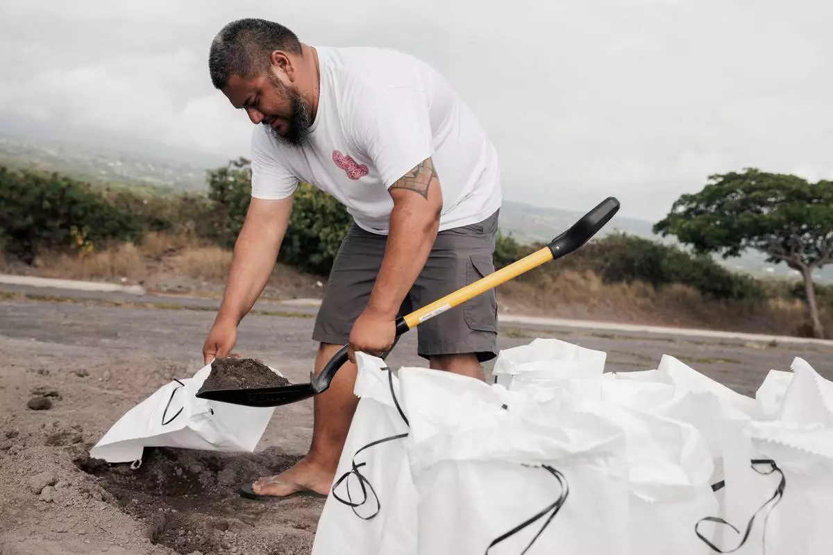
Casey Delaries makes a sandbag in preparation for Tropical Storm Lala in Kailua-Kona, Hawaii, Friday, Aug. 14, 2026. The tropical storm is forecast to strengthen into a hurricane as it approaches Hawaii, with up to 25 inches of rain possible on the island of Hawaii, also commonly known as the Big Island. (Stephen Lam/San Francisco Chronicle via AP)
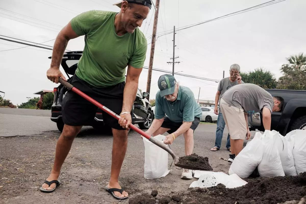
Shaheer Faltas, left, and his father-in-law, Joe Brosnan, fill sandbags in preparation for the arrival of Tropical Storm Lala in Captain Cook, Hawaii, Friday, Aug. 14, 2026. (Stephen Lam/San Francisco Chronicle via AP)
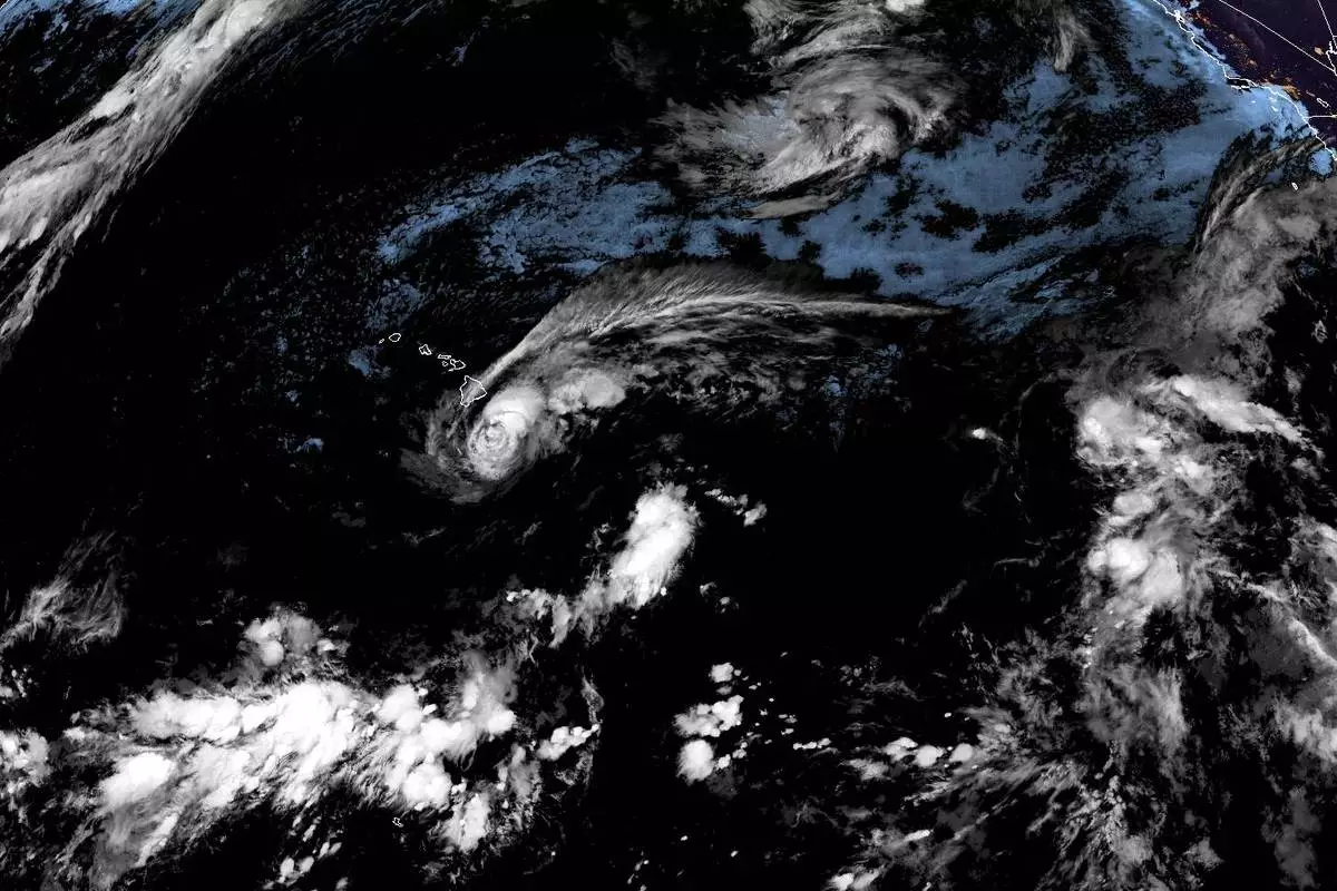
This satellite image released by NOAA shows Tropical Storm Lala over the Pacific Ocean, near Hawaii, Saturday, Aug. 15, 2026. (NOAA via AP)