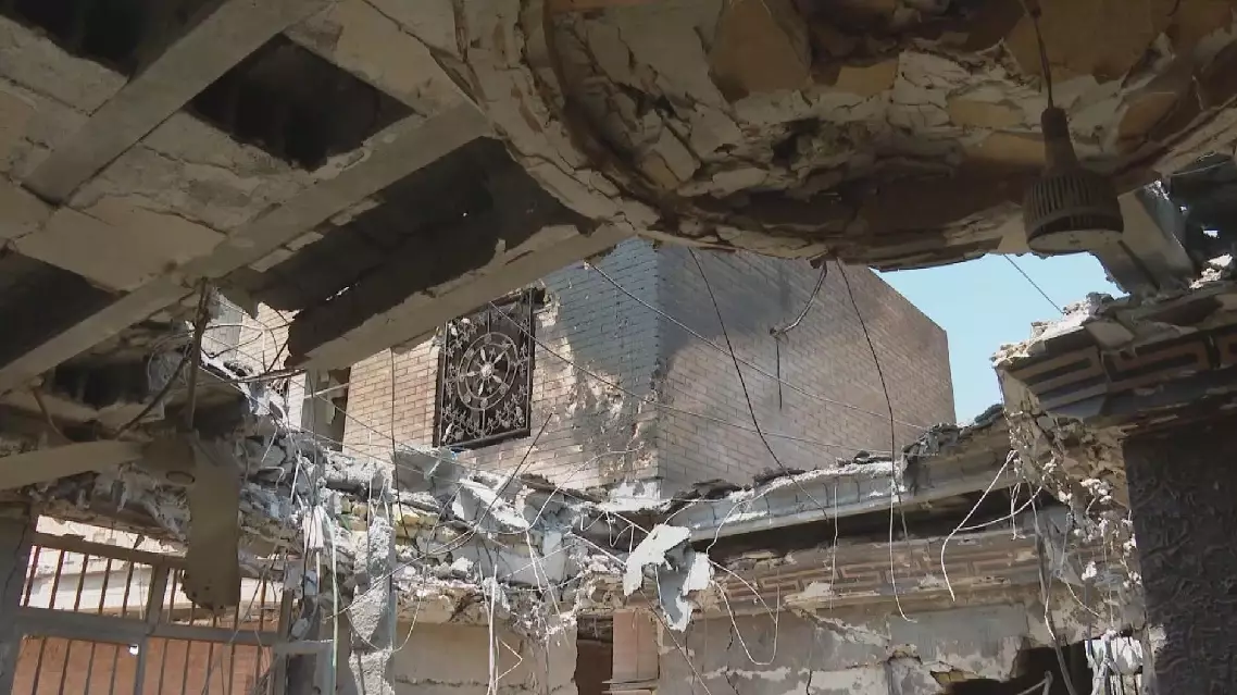
Emergency crews have been screening for hazards and have reinforced roadside slopes to guarantee safe transportation along the only land route leading to the core area of the mudslide-hit Guirong Port in southwest China's Xizang Autonomous Region.
The mudslide struck the Gyirong Port in Xigaze City of Xizang on August 26, leaving at least 43 people dead and 519 others missing as rescue operations continue.
The disaster cut off an approximately three-kilometer stretch of the G216 National Highway, which was the only road leading into the Gyirong border port with Nepal, forcing rescuers to either be flown in by helicopter or embark on hours-long treks on foot through treacherous mountain terrain to reach the site.
Rescue teams undertook a week-long operation to clear debris and restore access, allowing heavy machinery in and enabling relief supplies and a greater number of personnel to reach the core affected area last Wednesday.
Fears over the occurrence of secondary disasters have remained a concern for authorities and in order to keep this critical road link safe and clear, multiple teams have since carried out a series of surveys and careful monitoring activities around the site.
They have identified 58 spots with potential geological hazards along the relevant sections of the highway, where they have installed monitoring devices to ensure quick response should any possible rockfalls or landslides occur.
"We have set up a radar in a proper position to monitor the area around the roadside slope. Should a rockfall or landslide occur, we will promptly report to the command center, which will then contact other relevant departments to implement traffic control on that section of the road or carry out further clearing and protection measures," said Yuan Yunxing, deputy head of the National Safe Production Emergency Rescue Survey Team.
In addition, road authorities have conducted further on-site investigations into these most at-risk areas and have reinforced roadside slopes to protect passing-by rescue vehicles.
"This area may need a drapery system to make sure these loose rocks won't fall down the slope and affect the smooth traffic on this lifeline," said Ga Ridi, an employee of the China Railway Beijing Group, a state-owned engineering firm called in to assist with the relief work.
Meanwhile, workers have also laid steel gabion baskets along the outer edge of the road to prevent the erosion caused by river currents. They have also prepared extra gabion baskets for future extensions of the facilities should rain raise water levels on the nearby river.
Experts have also been assessing river levels in the wake of the mudslide, which was triggered by the collapse of a high-altitude glacier in the upper reaches of the Cuojian River on the Nepalese side of the border.
Based on drone footage and remote sensing images, the water flow is currently normal both upstream and downstream of the impact crater left by the glacier collapse, the Ministry of Water Resources said on Monday.
The Purepu Tsangpo barrier lake, which formed after the mudslide upstream of the Gyirong Port and which once hampered rescue operations with high breaching risks, has been drained out naturally, and small mudslide dams in the lower reaches have shown no significant changes and normal water flows, the ministry said, warning risks remain that they may further collapse to form new barrier lakes.
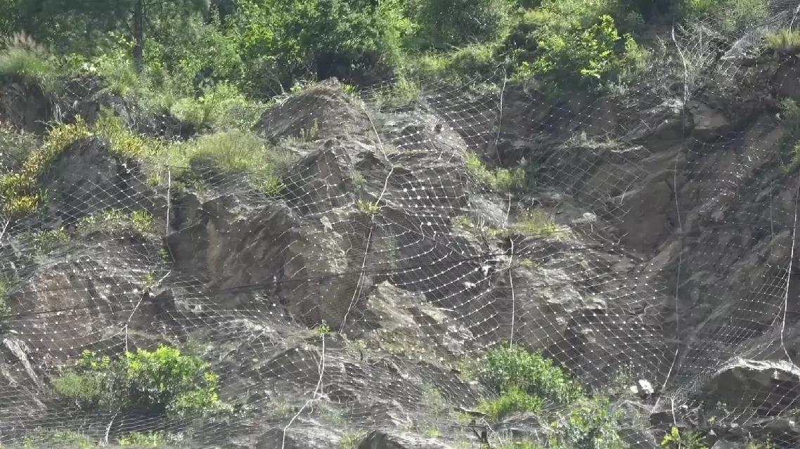
Rescuers take measures to secure safe road access to mudslide-hit Gyirong Port