Power authorities in eastern China's Zhejiang Province have rolled out a digital flood-prevention system combining mobile radar vehicles, Doppler weather radars and autonomous drones as the region enters its annual typhoon season, aiming to cut natural disaster-related grid losses by up to 40 percent.
From late July to early August, China's southeastern coastal region enters its peak typhoon season.
In Wenzhou, a coastal city in Zhejiang, local power authorities have established a multi-layered monitoring network that coordinates aerial and ground-based operations, using digital technologies to protect the power grid.
The mobile typhoon observation vehicle is part of the network used for measuring high-altitude wind field.
The vehicle integrates a wind profiler, a lightning protection control system, and independent power generation and leveling system, and can operate normally even in strong winds of 32 meters per second.
"Its core equipment is a wind profiler. By transmitting radar waves into the air, it detects particles in the wind field, which can be directly used to refine prediction and early warning models for typhoon disasters," said Wang Zhenguo, head of monitoring and early warning at the State Grid Zhejiang Electric Power Meteorological Center.
Relying on the typhoon prediction and early warning platform, the State Grid Zhejiang Electric Power Meteorological Center has built a smart disaster prevention and mitigation system.
A monitoring and sensing network has been established across all of Zhejiang Province, with more than 35,000 sets of monitoring devices including micro-meteorological and visualization equipment.
The network also includes satellite receiving stations, typhoon observation vehicles, and four sets of Doppler weather radars.
It can generate hourly forecasts for the next seven days within five minutes and reduce the error margin in typhoon landfall path forecasts by about 30 kilometers.
This system enables timely detection of wind fields whipped up by typhoons and can also forecast natural disasters such as icing, severe convective storms, and wildfires.
"According to our historical data statistics, more than 60 percent of power grid failures are caused by natural disasters. Typhoons are one of the major natural disasters along China's southeastern coast and can cause widespread damage to the power grid. In recent years, we have been using this system, and the results show that it can reduce the losses caused by natural disasters to the power grid by 30 percent to 40 percent," said Wang.
Cangnan County in Wenzhou is a mountainous area, making manual line inspections extremely difficult.
In 2019, the county established a big data center equipped with 55 operational drones and seven automated drone nests, enabling routine autonomous inspections of overhead power lines throughout the county.
The drones fly along preset flight paths, using infrared thermal imaging technology to automatically identify equipment overheating defects and visible-light imagery to locate various potential hazards precisely along the lines and provide immediate feedback.
This comprehensive intelligent inspection system boosts operation and maintenance efficiency by two to three times compared to manual methods.
Using the laser radar sensors mounted on the drones, the workers can complete a topographic survey in less than 10 minutes.
3D modeling rapidly and accurately reconstructs the on-site topography, and periodic comparisons of surveying data help assess the risks of geological disasters such as landslides and slope collapses.
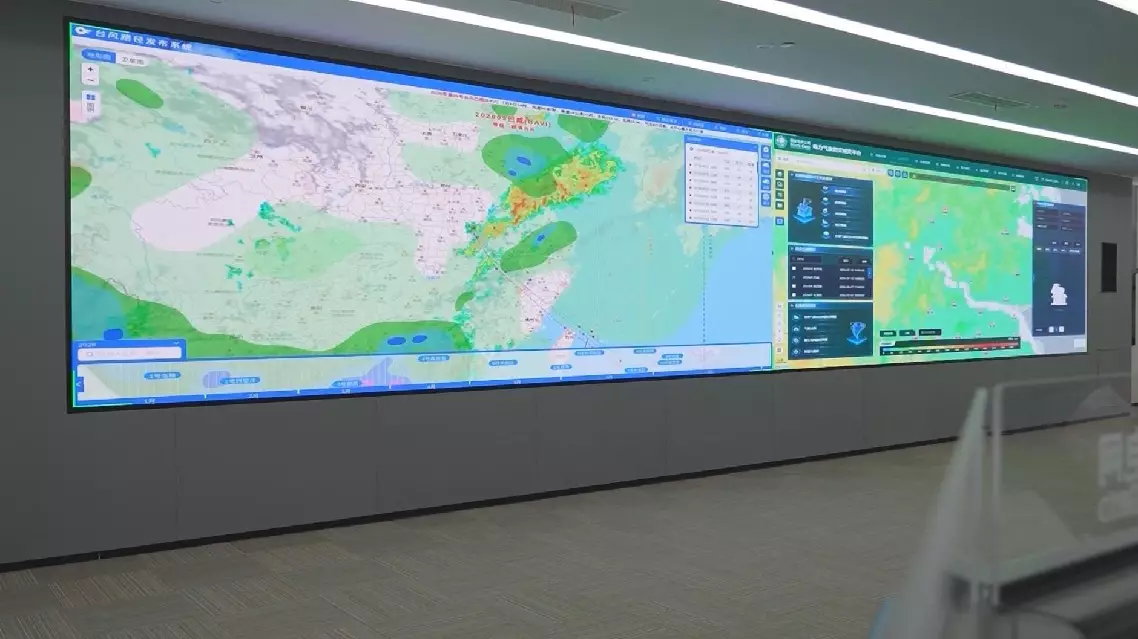
Zhejiang uses drones, radar to cut power grid losses by up to 40 pct in typhoon season