As China enters its flood season from late July to mid-August, the country is increasingly taking advantage of advanced technologies, particularly artificial intelligence (AI), to improve water-level monitoring, flood forecasting and emergency response.
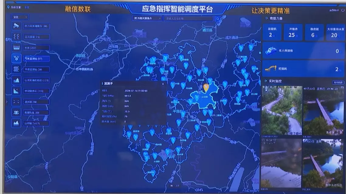
In Beijing, the Rongxin Datainfo Science and Technology Co.,Ltd., an AI and big-data company, demonstrated an emergency command data AI agent platform that integrates real-time inputs of rainfall, river water levels, weather forecasts, mapped flood-risk points and other data.
The system generates dynamic flood-risk maps, simulates potential flood scenarios and issues early warnings. It can also connect with some local emergency-response systems, automatically pushing alerts to relevant departments to help dispatch rescue teams when needed.
"This data AI agent system has been used in a dozen provincial regions including Beijing, Sichuan and Henan. During the building of an emergency command and dispatch platform in a county, the system helped connect disaster-prevention and emergency data across counties, townships, towns, villages and mountainous areas," said Cheng Lili, CEO of Rongxin Datainfo Science and Technology Co., Ltd.
The Ministry of Water Resources is also expanding the use of a digital twin system nationwide, a data-driven platform that creates a virtual replica of real-world water systems.
"The digital twin water conservancy system deeply integrates digital technologies, like big data, cloud computing, and AI with water conservancy operations. It essentially brings rivers, lakes, and water conservancy projects into the digital world for intelligent simulation. These scheduling simulations provide a 'smart brain' for projects involving flood and drought prevention, and water resource management and allocation," said Wang Rong, deputy head of the Information Center at the Ministry of Water Resources.
In south China's Pearl River basin, a HydroMPM (Hydro Multi-Processes Modeling) operating under the digital twin system can run a prospective simulation of the northern basin's flooding process for a 72-hour forecast window in just three minutes.
In recent years, this digital twin technology has helped retain over 81 billion cubic meters of floodwater, saving more than 1,700 cities and towns from inundation.
"Since the beginning of this flood season, a total of 549,000 flood forecasts have been produced and released, with 2,437 water level warnings issued, all delivered to the flood-control frontlines timely and accurately," said Wang.
AI technology reshapes China's flood control efforts