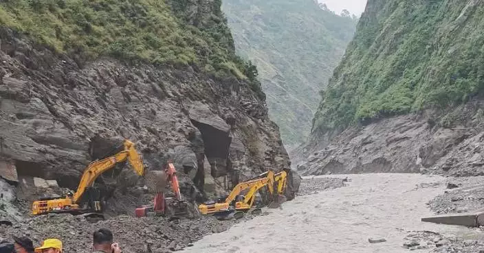
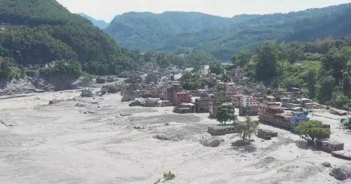
Risks posed by the barrier lake formed in the wake of Wednesday's catastrophic mudslide at the Gyirong Port, a major China-Nepal land border crossing in southwest China's Xizang Autonomous Region, have been contained, as search and rescue operations for survivors continue to intensify.
As of Saturday morning, the barrier lake, which sits over 10 kilometers upstream from the Gyirong port, has continued to drain out.
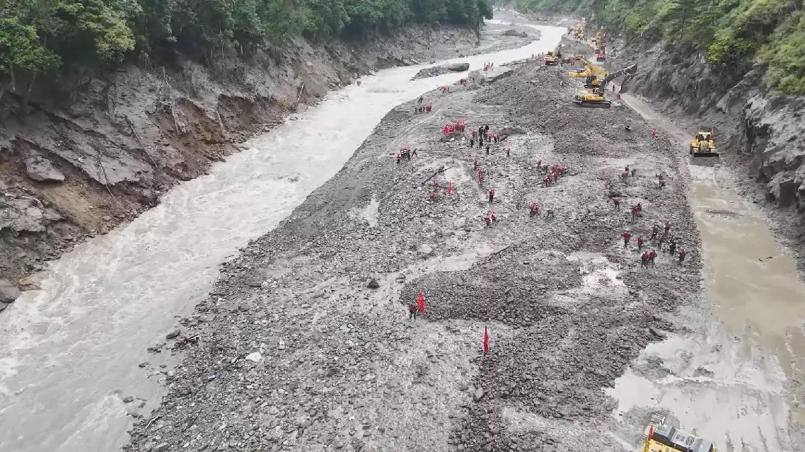
Meanwhile, crews have now cleared about 2.5 kilometers of the G216 national highway, a primary rescue and transport corridor to the port that has been cut off by the mudslide, which was triggered by massive flash floods in north Nepal.
At least seven people had been killed and over 550 others remained missing in Gyirong as of Saturday morning, according to the region's emergency management department.
At around 04:00 Saturday, fire rescue teams used heavy-lift drones to airdrop supplies to the rescue squads heading into the disaster zone.
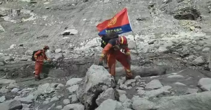
More than 2,000 rescue personnel and specialists have been deployed to the disaster zone so far. Using advanced equipment, they are combing through the disaster zone for possible signs of life and stepping up geological hazard surveys across adjacent slopes, roads and other vulnerable sites.
Barrier lake risks contained amid intensifying search, rescue efforts following massive mudslide
The catastrophic mudslide that struck regions near Nepal-China border on Wednesday originated in Nepal, a Nepali expert has confirmed.
The disaster hit north Nepal and Gyirong Port in Gyirong County of southwest China's Xizang Autonomous Region on Wednesday. China's Ministry of Natural Resources also confirmed that the mudslide was triggered by a glacier collapse at higher elevation on the Nepali side of the border.
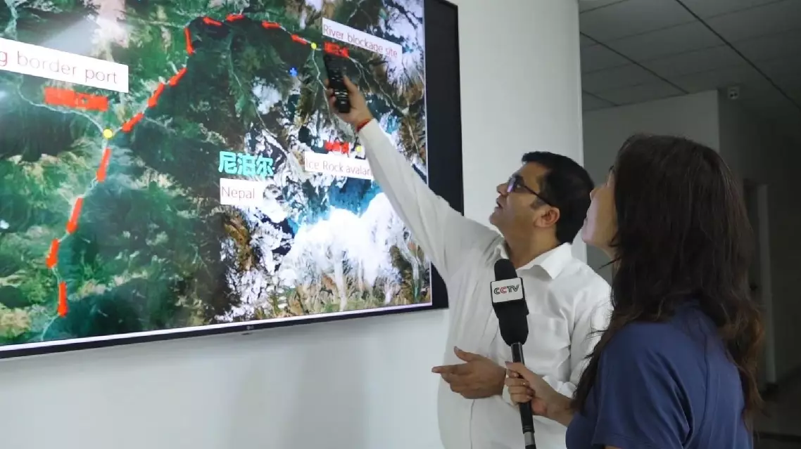
Pointing at a map, Professor Binod Dawadi from Tribhuvan University explained the disaster's origins.
"Let us look at this map. This is the Lende river along the Nepal-China border. The red line marks the river along the border. This side is Nepal, and to the north is China. Here is Gyirong Port. This point marked on the Nepali side is above Lirung Glacier. This is where the disaster began," he said.
Under normal conditions, meltwater from the point where the glacier collapsed would have drained through surrounding gullies into the river. But the sheer scale and suddenness of the disaster produced a massive surge of meltwater and broken ice in a very short time, scouring mud and sediment from the mountainside and sending a destructive flow downstream. The impact was felt on the Chinese side around Gyirong Port and along the Donglin Tsangpo River, known in Nepal as the Lende River, as the torrent swept southward and affected communities along its banks.
Nepal's National Disaster Risk Reduction and Management Authority confirmed on 19:00 Friday that the mudslide has killed 579 people, with 1,924 still missing.
Nepali expert confirms mudslide starting point on Nepali side