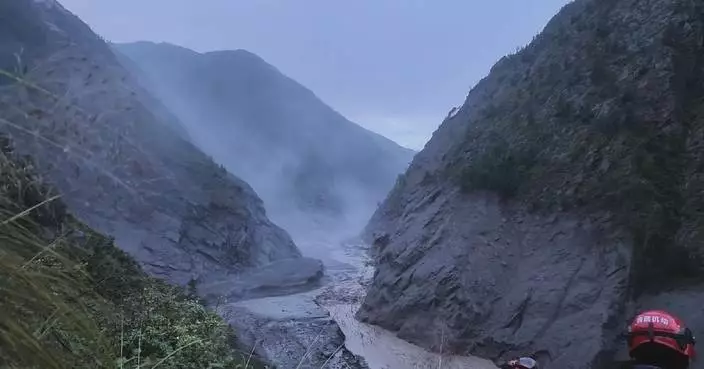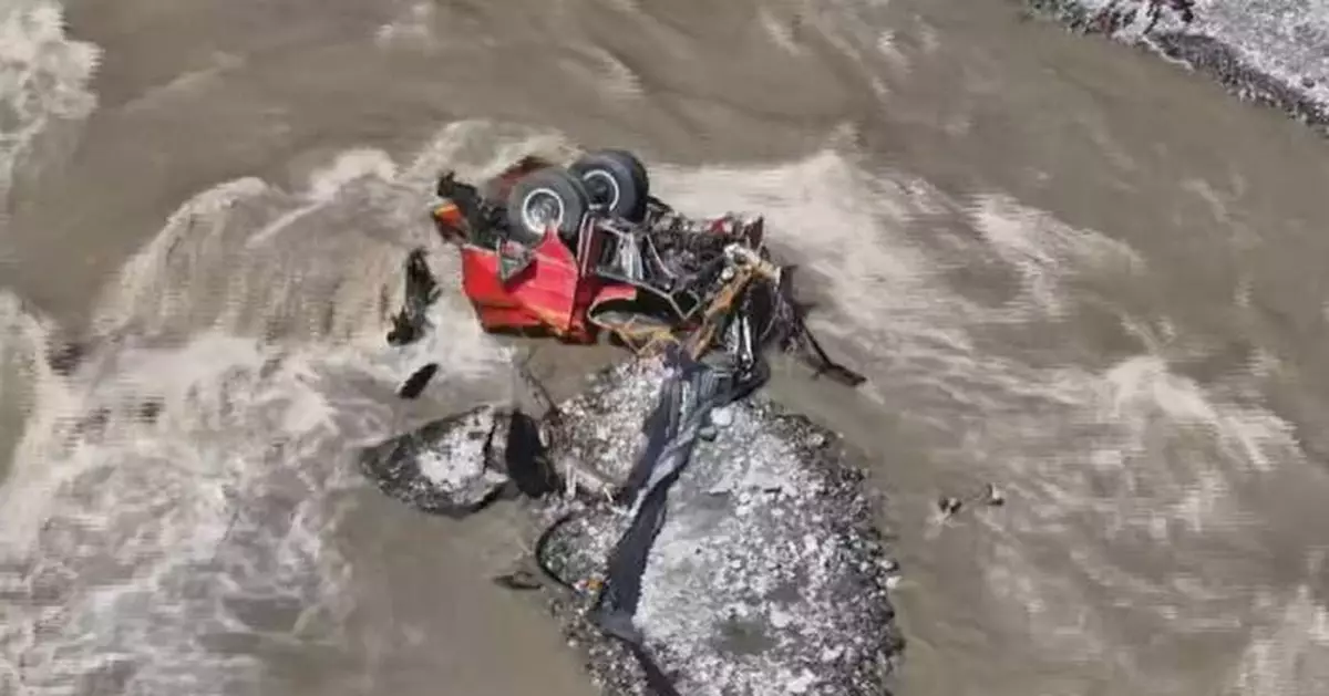
Rescue teams are advancing on foot and by rope descent to reach key disaster-hit areas of the Gyirong Port in southwest China's Xizang Autonomous Region, where damaged roads and the risk of secondary disasters are complicating the search for people still missing.
The mudslide, which originated on the Nepalese side of the China-Nepal border, struck the Gyirong Port in Xizang on Wednesday morning. As of Sunday, 16 people had been confirmed dead and 546 others remained missing at the Gyirong Port, according to the regional government.
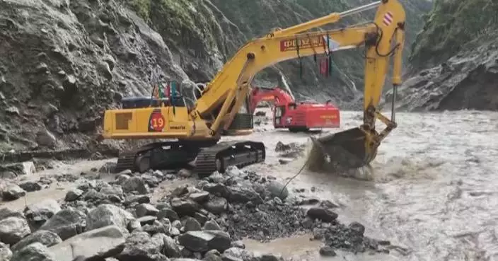
The mudslide has cut off roads, communications and power, and emergency repairs and restoration work are now underway on the damaged sections of the road leading to the inland port.
After much effort, on Friday, a fire rescue advance team trekked more than 20 kilometers through mountainous terrain and rappelled over 500 meters to reach the core affected areas at the Gyirong Port, where search and rescue operations began immediately.
"We entered the core areas mainly to check the interiors of buildings, and also what are under and inside vehicles to see if there are any survived missing persons in areas not covered by mud," said Wang Haitao, chief of the Fire and Rescue Corps of Xizang.
The massive mudslide presented a classic disaster cascading effect. At an elevation of 5,140 meters, a glacier spanning 620,000 square meters located in the upper reaches of the Cuojian River in Nepal broke off. The collapsing ice rapidly swept up loose rock and debris along its path, flowing into the Guobaxiaqu River, a boundary river between China and Nepal, before joining the Donglin Tsangpo River.
Gathering mass and momentum as it moved downstream, it evolved into a powerful debris flow that ultimately devastated the Gyirong Port and downstream areas.
"The avalanches and icefalls reaching this place had originated from Nepal, and they flew down the river. This is a how the mudslide happened: the avalanches and icefalls descended to this point," said Wang Genhou, a professor with the School of Earth Sciences and Resources under the China University of Geosciences in Beijing.
In the early hours of Thursday, an eight-member advance team from China Anneng, a state-owned engineering and rescue enterprise, arrived in Gyirong County with communications and detection equipment to collect key data and support efforts to address an upstream blockage with aerial surveying and 3D modeling methods.
Based on their scientific data, on-site experts have assessed the overall risk of a barrier lake that formed near the confluence of Nepal's Chhochen Khola River and China's Purepu Tsangpo River after the mudslide.
"We will monitor the ice-rock avalanches, as there are still a lot of glacial debris left on the left bank slope. We are also concerned about the melting and replenishment of some downstream glaciers. The stability of the bank slope and the debris flows that may follow are also our key concerns," said Su Pengcheng, a researcher from the Institute of Mountain Hazards and Environment under the Chengdu branch of the Chinese Academy of Sciences.
"Because of the collapse or landslide, the surrounding mountains will inevitably form a drainage channel, which may expand, deform or become destructive. Especially with flash floods and mudslides, the resulting impact and erosion will be immense, affecting the stability of riverbanks, including slopes and roadbeds. It will also pose a safety risk particularly during mechanical search and rescue operations," said Chen Hongqi, a senior engineer with the Technical Guidance Center for Geological Disasters under the Ministry of Natural Resources.
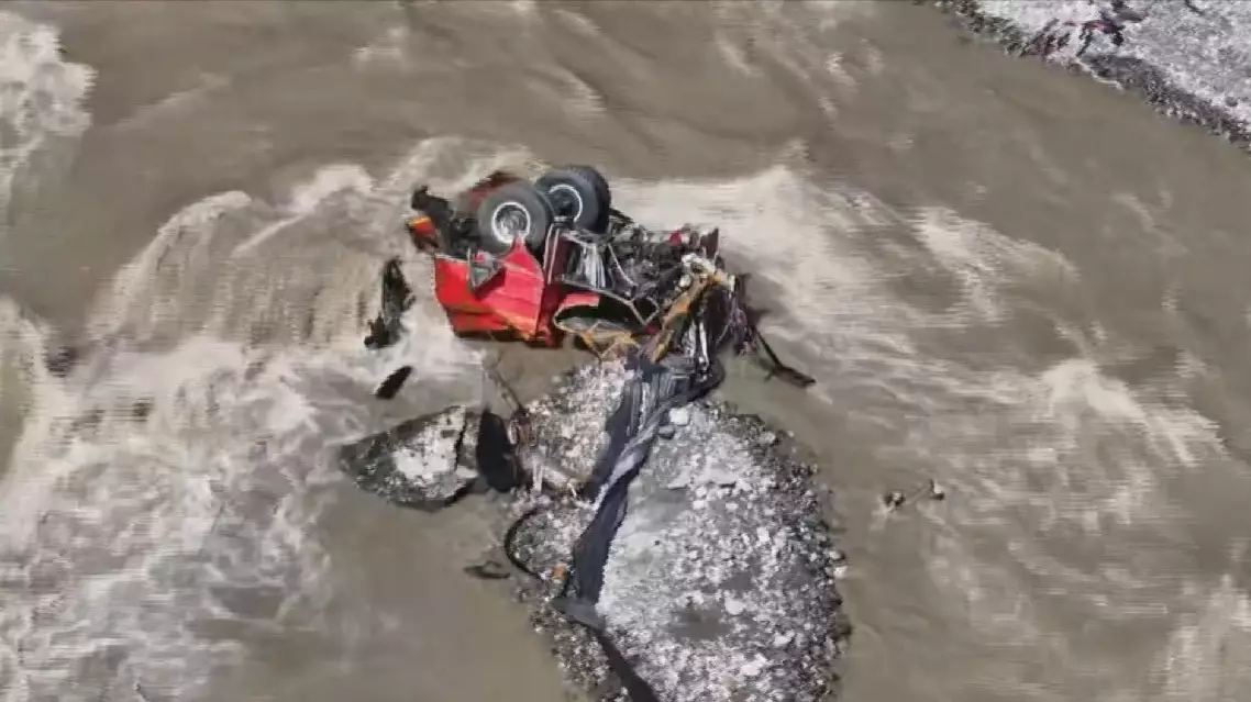
Rescue teams pushing deeper into mudslide-hit border port in Xizang