BAYOU LA BATRE, Ala. (AP) — Isaias strengthened Friday into a major hurricane as it headed toward the U.S. Gulf Coast, where final preparations were being made for potentially life-threatening storm surges and high winds.
The hurricane is forecast to make landfall late Friday somewhere along the Alabama-Florida line and create dangerous conditions in the Florida Panhandle, southern Alabama and southern Mississippi, the National Hurricane Center said.
Click to Gallery
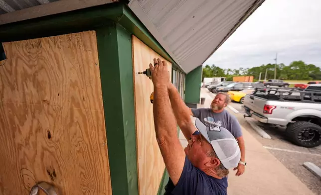
Mike Howard, foreground, and Joshua Brown board up Perdido Key Sports Bar as Hurricane Isaias approaches Perdido Key, Fla., Thursday, Oct. 8, 2026. (AP Photo/Gerald Herbert)
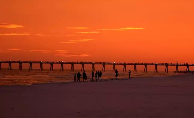
People walk on the beach at sunset as Hurricane Isaias approaches Pensacola Beach, Fla., Thursday, Oct. 8, 2026. (AP Photo/Gerald Herbert)
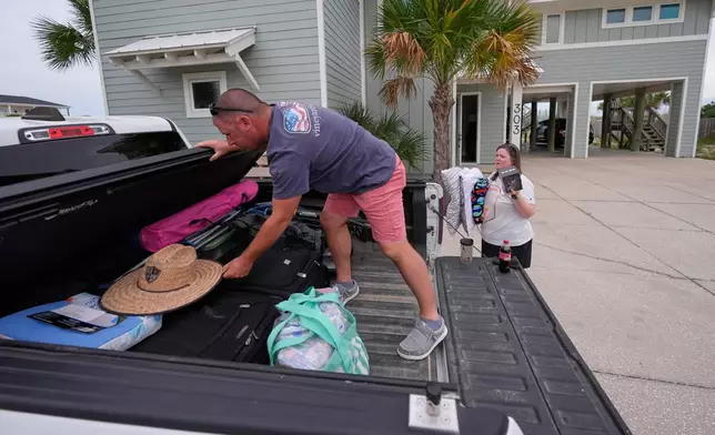
Daniel and Brand Harp, of Lebanon Tenn., here on vacation, pack their belongings to evacuate in the morning as Hurricane Isaias approaches Pensacola Beach, Fla., Thursday, Oct. 8, 2026. (AP Photo/Gerald Herbert)
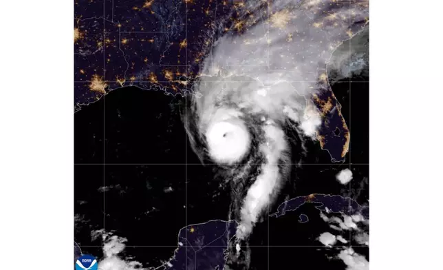
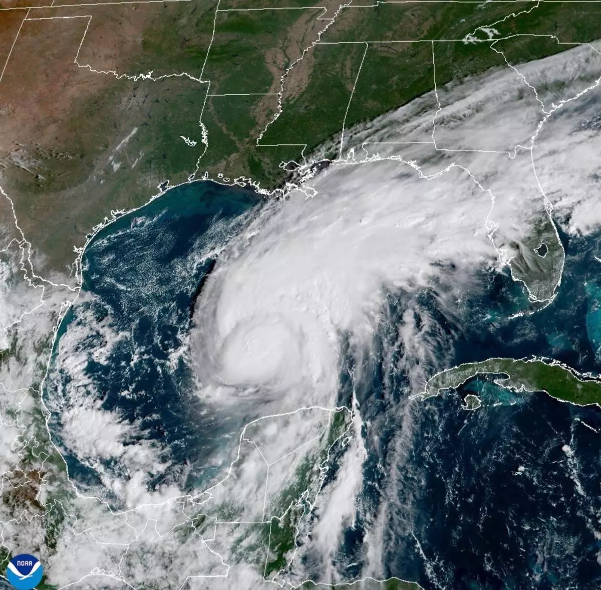
This satellite image from the National Oceanic and Atmospheric Administration shows Hurricane Isaias in the Gulf of Mexico, Friday, Oct. 9, 2026. (National Oceanic and Atmospheric Administration via AP)
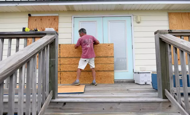
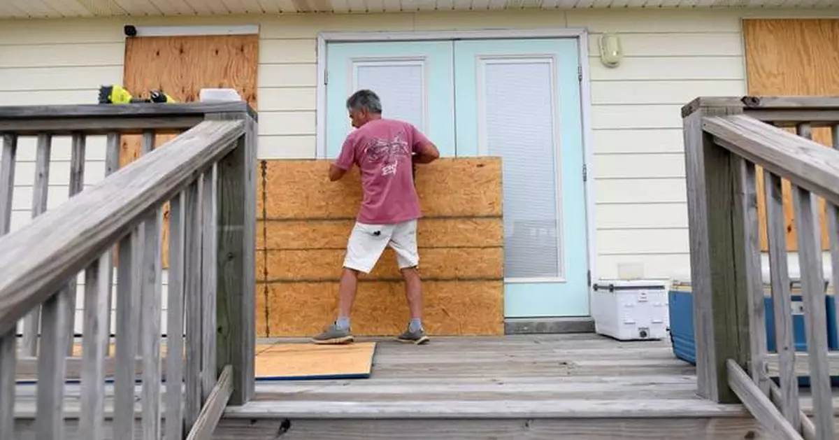
Larry Smith boards up his home with plywood ahead of Hurricane Isaias' expected landfall along the Gulf Coast in Dauphin Island, Alabama, Thursday, Oct. 8, 2026. (AP Photo/Octavio Jones)
The Category 3 storm was packing 120 mph (193 kph) winds, and was expected to continue strengthening. Category 3 storms, considered major hurricanes, are capable of causing devastating damage, the center said.
Rain began falling along the coast Friday morning, and tropical storm conditions were expected to begin early in the afternoon.
Isaias was expected to weaken quickly as it hits shore and be downgraded to a tropical storm by Saturday afternoon as it moves north and inland along the Alabama-Mississippi line, the center said.
“Preparations should be rushed to completion as the weather will go downhill quickly today,” the hurricane center said in an early morning forecast. “While the storm is not expected to make landfall at peak intensity, it is likely that Isaias will still be a significant hurricane when it reaches the coast.”
Isaias, the first hurricane of the Atlantic season, was centered about 200 miles (322 kilometers) south-southeast of the mouth of the Mississippi River and moving to the north at about 15 mph (24 kph), the center said.
It was expected to make landfall between Mobile Bay on the Alabama coast and Choctawhatchee Bay in the Florida Panhandle in the evening.
Besides wind and storm surges, the hurricane will likely bring flash flooding and spawn tornadoes, the hurricane center said.
A hurricane warning was in place from Ocean Springs, Mississippi, to the western Florida Panhandle. Tropical storm warnings were issued from southeastern Louisiana to Aucilla River along Florida's Big Bend.
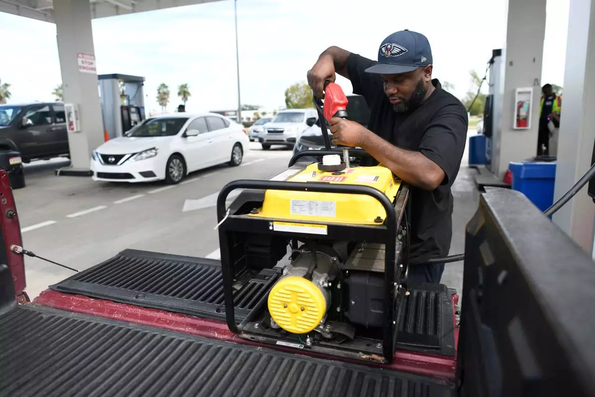
Preparations have been going on for days. On Thursday, residents boarded up windows and stacked sandbags while thousands of National Guard soldiers were deployed.
Isaias is expected to bring a storm surge as high as 5 to 7 feet (1.5 to 2 meters), with the deepest water hitting immediate coastal areas, along with large and dangerous waves, the hurricane center said.
Coastal communities moved quickly to prepare Thursday, as Alabama Gov. Kay Ivey ordered non-residents to immediately evacuate Gulf Shores, Orange Beach and Dauphin Island. Videos on social media showed traffic at a standstill on a highway leading out of Gulf Shores, where double-red beach flags signaled water access was closed.
Several counties announced mandatory evacuations for some coastal areas. The governors of Florida and Alabama declared states of emergency for dozens of counties, with Florida’s Ron DeSantis saying about 5,000 National Guard troops were expected to mobilize by Friday.
On Dauphin Island, a 15-mile (24-kilometer) barrier island off the Alabama coast, officials encouraged voluntary evacuations, particularly on its popular western section, which is vulnerable to storm surge.
Mayor Jeff Collier said he did not anticipate substantial damage, “but at the same time, these things are very fickle and a little jog here or there, or some last-minute increase in strength — we just have to be prepared for the worst.”
Meanwhile in the Pacific Ocean, Hurricane Simon, which formed as a tropical storm on Wednesday off of Mexico and became a hurricane late Thursday, was forecast to strengthen into a Category 4 hurricane.
Rico reported from Atlanta and Collins reported from Hartford, Connecticut. Also contributing were Associated Press reporters Kim Chandler in Montgomery, Alabama; Hallie Golden in Seattle; Kathy McCormack in Concord, New Hampshire; John Raby in Charleston, West Virginia; Laura Turbay in Little Rock, Arkansas; and Julie Walker in New York.
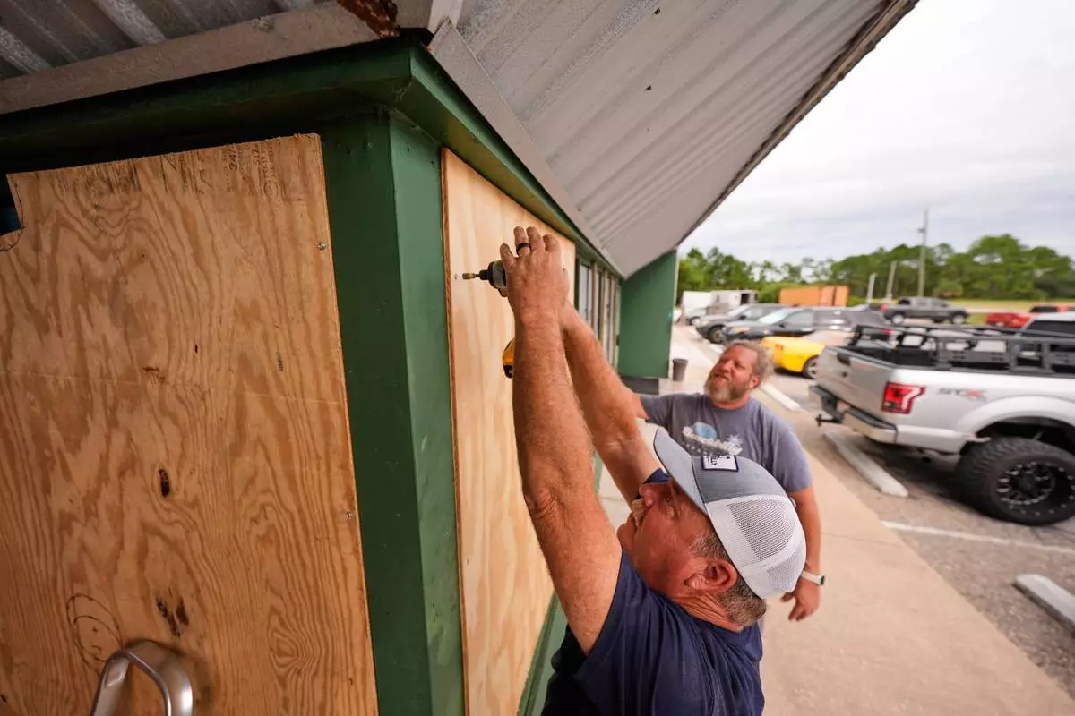
Mike Howard, foreground, and Joshua Brown board up Perdido Key Sports Bar as Hurricane Isaias approaches Perdido Key, Fla., Thursday, Oct. 8, 2026. (AP Photo/Gerald Herbert)
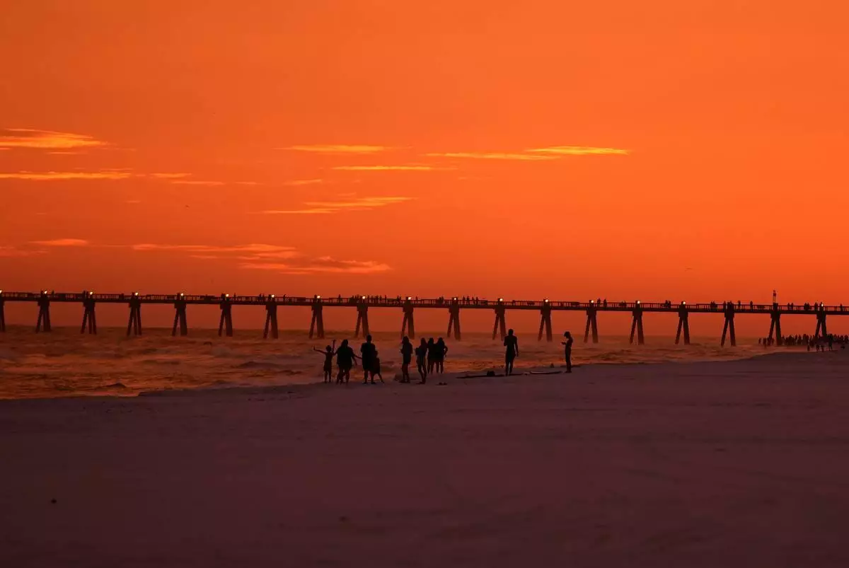
People walk on the beach at sunset as Hurricane Isaias approaches Pensacola Beach, Fla., Thursday, Oct. 8, 2026. (AP Photo/Gerald Herbert)
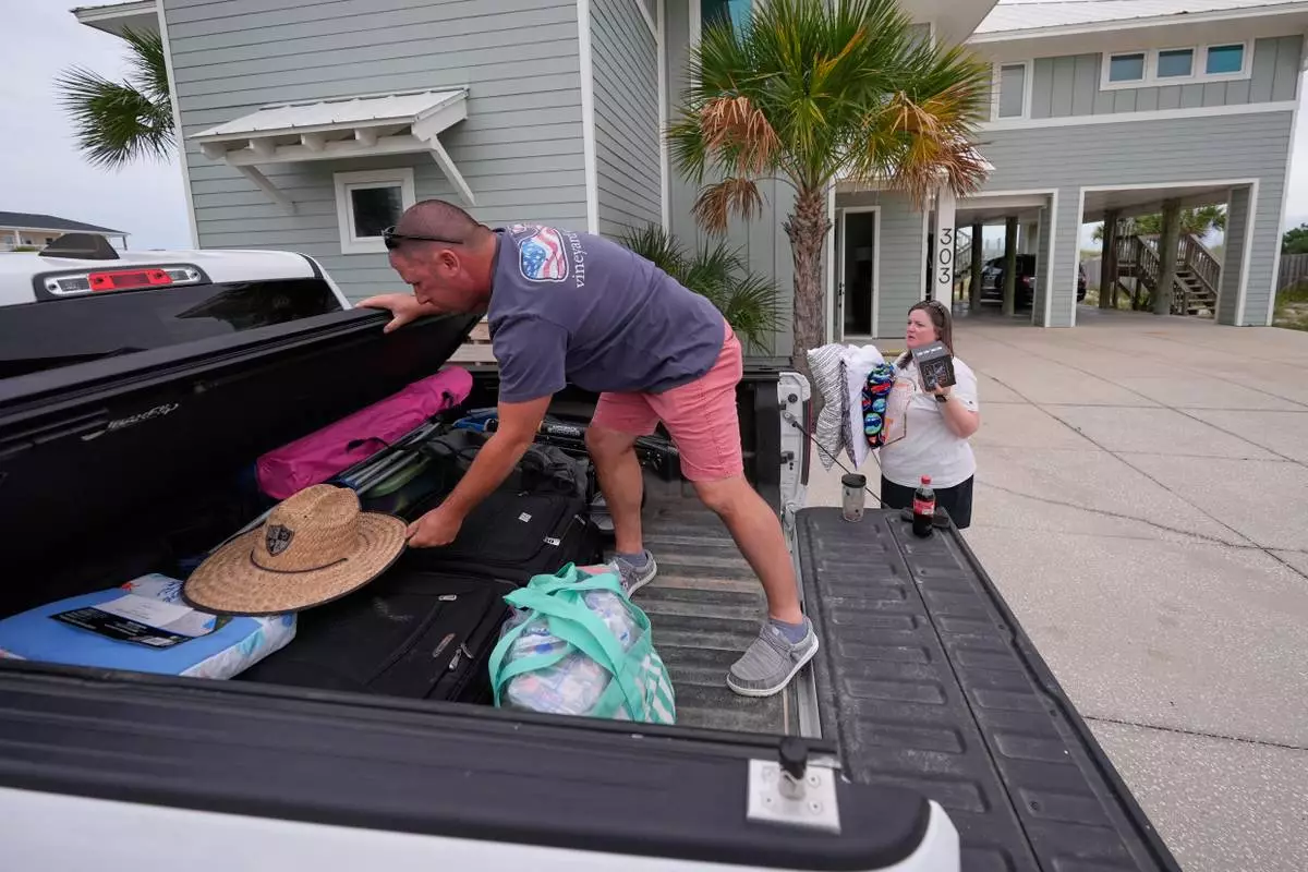
Daniel and Brand Harp, of Lebanon Tenn., here on vacation, pack their belongings to evacuate in the morning as Hurricane Isaias approaches Pensacola Beach, Fla., Thursday, Oct. 8, 2026. (AP Photo/Gerald Herbert)
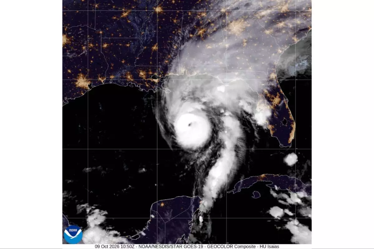
This satellite image from the National Oceanic and Atmospheric Administration shows Hurricane Isaias in the Gulf of Mexico, Friday, Oct. 9, 2026. (National Oceanic and Atmospheric Administration via AP)
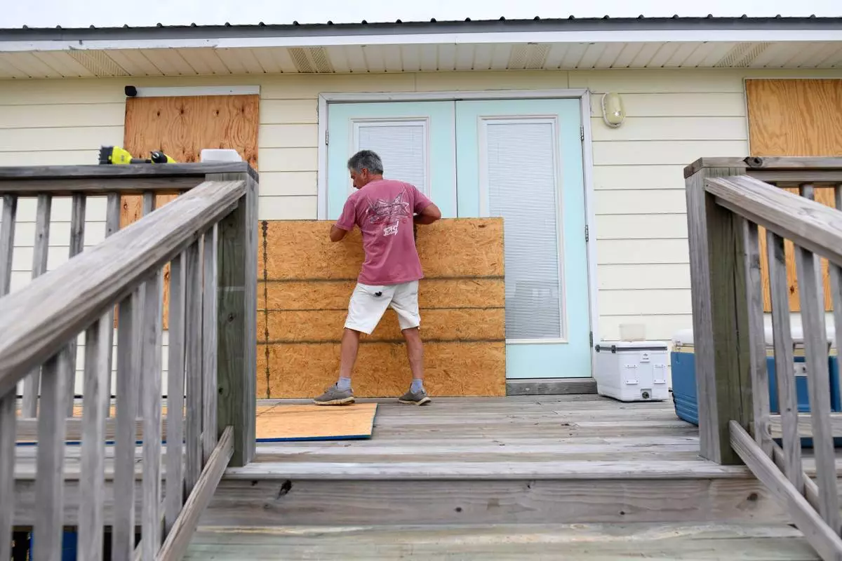
Larry Smith boards up his home with plywood ahead of Hurricane Isaias' expected landfall along the Gulf Coast in Dauphin Island, Alabama, Thursday, Oct. 8, 2026. (AP Photo/Octavio Jones)