LONDON (AP) — Ireland, Northern Ireland and Scotland are braced for one of the most intense storms in decades, with forecasters warning of extremely rare hurricane-force winds and a danger to life.
The national forecasters for Ireland and the U.K. both issued the most serious weather warnings Thursday about the impact of Storm Éowyn, which is expected to hit the Irish coast in the early hours of Friday before heading northeast to Scotland.
With the storm bringing gusts of wind around 100 mph (161 kph), people have been urged by authorities to put on hold any travel plans, while schools across the areas affected have decided to close for the day.
Ireland’s Met Éireann issued a rare nationwide red warning for wind across the country between 2 a.m. and 10 p.m. It said there’s a possible “danger to life” as well as “extremely dangerous traveling conditions” and the prospect of coastal flooding.
“We haven’t seen forecasted wind speeds like this in quite a long time," said Eoin Sherlock of Met Éireann. “I suppose our inhabitants on the islands have to take great care, because we would expect hurricane-force winds.”
The country's National Emergency Co-ordination Group said the storm will be one of the “most severe” Ireland has experienced.
The U.K.’s Met Office has also issued a red warning for wind for Northern Ireland as well as central and southwestern areas of Scotland on Friday.
In response, the government said around 4.5 million people in the path of the storm will receive an emergency alert on their cellphones Thursday at 6 p.m. to make them aware of the warning. It represents the largest real-life use of the emergency system to date and will cause phones to make a loud siren-like sound, even if they are on silent when the alert is issued.
“We reserve the issuing of Red Warnings for the most severe weather which represents a likely danger to life and severe disruption, and that is the case with Storm Éowyn," the agency's chief meteorologist Paul Gundersen said.
Gundersen said winds could gust 80-90 m.p.h. quite widely for a time, and potentially up to 100 m.p.h. for exposed coasts in particular. The record for a gust in Northern Ireland is 124 m.p.h. in County Down in January 1974.
This is the first red warning issued for Northern Ireland since the Met Office moved to impact-based warnings in 2011. All schools in Northern Ireland have been advised to close on Friday.
“It’s important to emphasize that a red warning is very serious. It's only whenever there is a genuine threat to life and potential damage to property, and the public should expect significant disruption to travel and also potential power outages because of the severity of conditions," Northern Ireland's First Minister Michelle O'Neill said.
The Met Office warning applies on Friday from 7 a.m. to 2 p.m. in Northern Ireland and for parts of southern Scotland between 10 a.m. and 5 p.m.
Scotland's First Minister John Swinney said police would issue a formal “do not travel” notice later for the area covered by the red weather warning.
“We have to be clear. People should not travel," he said.
Schools in a number of Scottish local authorities will be closed on Friday, including all schools in Glasgow. The Scottish Parliament in Edinburgh will also close.
The other nations of the U.K. — England and Wales — will also face disruption, with all parts of the country covered by one warning at some point on Friday.
“It’s important to note that even those away from the immediate Red Warning areas will still likely see disruptive weather, with travel plans likely to be severely impacted, as well as the possibility of power cuts for some," said the Met Office's Gundersen.
Part of the storm's energy originated with the system that brought historic snowfall along the Gulf Coast of the U.S., said Jason Nicholls, lead international forecaster at the private weather company AccuWeather.
The storm is being propelled by the jet stream and is being fed by energy in upper levels of the atmosphere. A rapid drop in air pressure is expected and could make Éowyn a bomb cyclone, which happens when a storm’s pressure drops 24 millibars in 24 hours.
Scientists say pinpointing the exact influence of climate change on a storm is challenging, but all storms are happening in an atmosphere that is warming abnormally fast due to human-released pollutants like carbon dioxide and methane.
“It’s hard to say if climate change had much impact on the storm," said Nicholls. “It was just a matter of a whole bunch of ingredients coming together to help it rapidly strengthen.”
Suzanne Gray, professor of meteorology at the University of Reading, said “the observed trends in U.K. storminess have not provided a conclusive link with climate change," but that studies have shown that "winter storms may become more frequent and clustered in the future, such that several storms occur one after the other.”
Isabella O'Malley contributed from Philadelphia, PA.
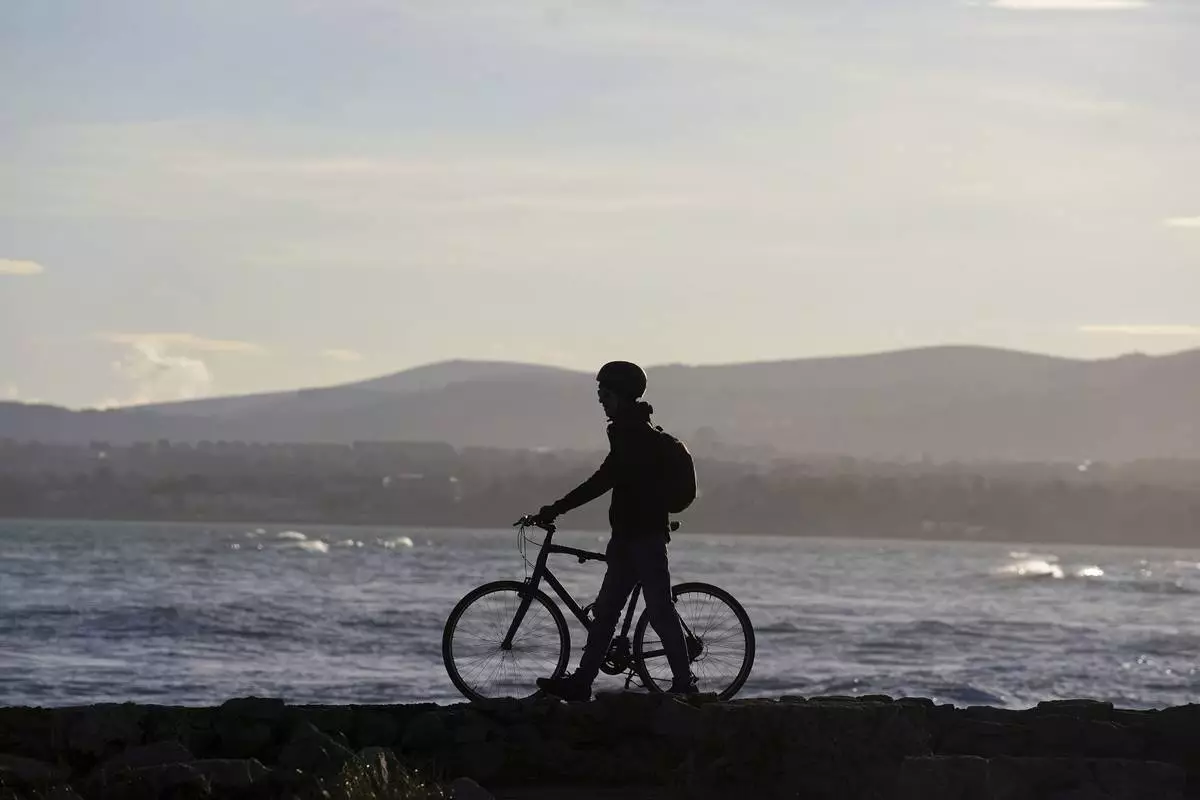
A person wheels a bike on the Great South Wall on a sunny winter's day in Dublin, Ireland, Thursday, Jan. 16, 2025. (Brian Lawless/PA via AP)