Feature · News

Internet services partially resume, sufficient daily supplies available in Iran's Tehran

China vows effective punishment against Taiwan separatists

Traffic operating normally, internet remains restricted in Tehran

Iranian president says government focusing on ensuring supplies amid protests

China’s ski resorts, ice rinks draw crowds as winter season peaks

Bublik Blazes to the Bank of China Hong Kong Tennis Open, Musetti Doubles Delight

BP China Insight : Former U.S. Ambassador to NATO: Trump Obsessed with Oil; China Bets on Electricity

BP China Insight : Japan Seeks "Parental" U.S. Help After Repeated Chinese Retaliation

Photos of Syrians fleeing violence in Aleppo

Protests erupt across US over ICE shootings

Autonomous vehicles drive HK forward

Trump 'inclined' to keep ExxonMobil out of Venezuela after CEO response at White House meeting

Applications Open for Enrolled Nurse Training Programme in Welfare Sector Starting 2026-27

How Olympians think about success and failure and what we can learn from them

Immigration arrests and tense confrontations in Minneapolis, in photos

A Minneapolis church holds a service of 'Lament and Hope' amid fears over immigration crackdown

BP China Insight : Former U.S. Ambassador to NATO: Trump Obsessed with Oil; China Bets on Electricity

BP China Insight : Japan Seeks "Parental" U.S. Help After Repeated Chinese Retaliation

Photos of Syrians fleeing violence in Aleppo
Protests erupt across US over ICE shootings
Internet services partially resume, sufficient daily supplies available in Iran's Tehran
China vows effective punishment against Taiwan separatists
Traffic operating normally, internet remains restricted in Tehran
Iranian president says government focusing on ensuring supplies amid protests
China’s ski resorts, ice rinks draw crowds as winter season peaks
Bublik Blazes to the Bank of China Hong Kong Tennis Open, Musetti Doubles Delight
Autonomous vehicles drive HK forward

Trump 'inclined' to keep ExxonMobil out of Venezuela after CEO response at White House meeting

Applications Open for Enrolled Nurse Training Programme in Welfare Sector Starting 2026-27

How Olympians think about success and failure and what we can learn from them

Immigration arrests and tense confrontations in Minneapolis, in photos

A Minneapolis church holds a service of 'Lament and Hope' amid fears over immigration crackdown
Feature·Bloggers

【Bastille Commentary】Chicken-hearted Conservatives: Sanctioning Hong Kong Judges While Trump Runs Wild

【What Say You?】Trump’s “Maduro Grab” Gets a Glossy Spin by the Usual Suspects

【What Say You?】Trump's Judicial Theater: Maduro's Fate Already Sealed

【Deep Throat】Trump's Venezuelan Oil Grab: Big Oil Not Playing Along?

The Most Laughable Lie of the New Year: Jimmy Lai's "Grave Illness" Falls Apart Under Five Hard Facts

【What Say You?】Black Riots “comrades” Thought Ukraine Was Another “Resistance”—Then the Contract Hit

Dakar Rally moves through sweeping desert landscapes, in photos
- XTransfer Debuts at the CES in Vegas
- The Latest: Trump says Iran proposed negotiations as hundreds killed in protests
- Malaysia, Indonesia become first to block Musk’s Grok over sexualised AI images
- Photos of 20-year-olds gathering in kimonos for Coming of Age Day ceremony in Japan
- Trump says Iran wants to negotiate as the death toll in protests rises to at least 544
- New US ambassador to India pushes for deeper trade ties despite tension over Russian oil
- AB InBev and Live Nation Strike Exclusive UK Partnership
- Virgin Atlantic Accelerates Video Production Time by 75% for Cabin Crew Engagement With Idomoo’s AI Video Creator
- India and Germany sign deals to deepen economic and security ties

Venezuelan acting president calls for national unity amid complex situation
- China hopes Iran will overcome difficulty, maintain stability: spokeswoman
- Northwest China's Xi'an plays pivotal role in boosting ancient exchanges with outside world
- Latin Amercian countries free to choose cooperation partners: spokeswoman
- China urges U.S. to halt blockade, sanctions on Cuba: spokeswoman
- Canadian PM to visit China: spokeswoman
- Rights, freedom of all countries to conduct activities in Arctic according to law should be respected: Chinese spokeswoman
- China issues landmark regulation on allocation of government investment funds
- Chicago's South Side suffers lingering impacts of racist 'redlining' practices
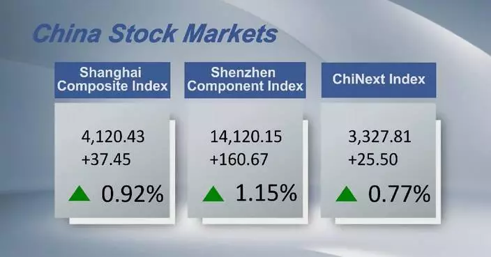
- Chinese shares close higher Monday with single-day trading turnover hitting record high
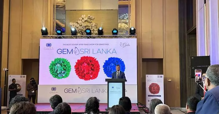
Gem Sri Lanka 2026 Concludes Successfully: Platinum Sponsor GUILD Propels Industry Growth
- Banyan Group Unveils New Residential Brand: Bellaguna
- DAR AL ARKAN, IN COLLABORATION WITH DAR GLOBAL AND THE TRUMP ORGANIZATION, TO DEVELOP TRUMP INTERNATIONAL GOLF CLUB, WADI SAFAR - THE FIRST OF TWO LANDMARK PROJECTS IN RIYADH
- Dr.stretch Malaysia partners with NHA athlete Saif Nordin, brings elite mobility and performance to all Malaysians
- Colebrook Bosson Saunders Launches Lana: An Adaptable Laptop Stand Engineered for Hybrid Work
- Malaysian SMEs Turn Market Turbulence into Opportunity with SME100 Awards Leading the Movement
- Africa's megacity of Lagos reshapes its coast by dredging and puts environment at risk
- CJC Race Launches Global Game-Fi Horse Racing Platform With Real USDT Rewards
- Hong Kong court hearing arguments on sentencing in former publisher Jimmy Lai's case
- A Symbol of Prosperity to a Hopeful Action -- Reviving Hong Kong's Ocean Heritage

Canadian ice master makes Olympic history with the Games' 1st indoor temporary speedskating rink
- George Floyd and Renee Good: 5 years between Minneapolis videos, and confusion has increased
- Google teams up with Walmart and other retailers to enable shopping within Gemini AI chatbot
- Erich von Däniken, Swiss writer who spawned alien archaeology, dies at 90
- Germany sharply rejects RFK Jr.'s claims that it prosecutes doctors for vaccine exemptions
- VR headsets are 'hope machines' inside California prisons, offering escape and practical experience
- Doctors say changes to US vaccine recommendations are confusing parents and could harm kids
- Strength training is crucial after menopause. How to make the most of your workouts
- Meta lines up massive supply of nuclear power to energize AI data centers
- From climbing vacuums to cyber pets: Some highlights of CES 2026

Inside the Golden Globes: The reunions and moments the telecast didn't show
- See top photos of stars on the 2026 Golden Globe Awards red carpet
- Golden Globe highlights: Brazil on a streak, Amy Poehler's pod wins and Seth Rogen comes full-circle
- Celebrities wear pins protesting ICE at the Golden Globes
- The Golden Globes are tonight. Here's what to look for and how to watch and stream the show
- Red lines and increasing self-censorship reshape Hong Kong's once freewheeling press scene
- Celebrities embrace black and old Hollywood glamour for Golden Globes red carpet
- Nikki Glaser takes swings at CBS and Leo, goes gentle on Julia in Golden Globes monologue
- The Latest: Golden Globes kicks off Hollywood's 2026 awards season
- Complete list of 2026 Golden Globe Award winners

Maye throws late TD pass and Patriots' defense roughs up Herbert, Chargers in 16-3 playoff win
- Chargers coach Jim Harbaugh says 'Those that stay will be champions.' QB Justin Herbert isn't sure
- Wolves' Edwards saw Wembanyama switch on him and thought uh-oh, before blowing by him for the winner
- DeMar DeRozan reaches 26,000 career points in Kings' victory over Rockets
- Patriots, 49ers, Bills, Bears and Rams advance to NFL's divisional round
- Josh Allen carries Bills to 27-24 win at Jags for Buffalo's first road playoff victory in 33 years
- Suns breeze past Wizards 112-93 for 10th victory in 13 games
- Alexander-Walker's 24 points lead 6 Hawks in double figures as Atlanta beats Warriors 124-111
- Hertl scores twice in 5-point game, Golden Knights beat Sharks 7-2 for 4th win in a row
- Tim Hardaway Jr. scores 25 points, Aaron Gordon adds 23 and Nuggets beat Bucks 108-104

HKMA Warns Public About Scams Involving Fraudulent Bank Websites and Phishing Emails
- No New Chikungunya Fever Cases Reported in Hong Kong; Authorities Enhance Mosquito Control Measures
- Hong Kong Launches Special Care Dental Services Coordinating Committee to Enhance Oral Health for Targeted Groups
- FEHD Launches Anti-Rodent Partner Awards 2026, Inviting Nominations Until February 11
- Centre for Health Protection Reports Two Legionnaires' Disease Cases, Urges Public to Maintain Water Systems.
- Hong Kong Customs Seizes 11.5 kg of Cannabis in Two Airport Drug Trafficking Cases
- Hong Kong Marathon 2026: Temporary Road Closures and Transport Adjustments Announced for January 18.
- Three Redhill Peninsula homeowners fined $275,000 for unauthorized building works, court confirms ongoing enforcement actions.
- Greater Bay Area Exhibition Launches to Highlight Opportunities for Hong Kong Youth at Local Universities
- EDB Urges Parents to Participate in Primary One Central Allocation Process for 2026 Admissions

Memorial held in Kuala Lumpur to commemorate people massacred during Japanese occupation
- China's Xuelong docks in New Zealand for material supply, personnel rotation
- Film IP fuels expansion of consumer market
- Japanese civil groups oppose restart of Kashiwazaki-Kariwa nuclear power plant
- Chinese yuan strengthens to 7.0108 against USD Monday
- US strike hits Venezuelan port, wrecking medical supplies, heritage building
- European leaders condemn US "threatening rhetoric" over Greenland
- Iranian president vows to engage in dialogue with protesters, but warns against rioters
- Cuban president says ready to defend Cuba, refutes Trump's accusations
- Russia reports strikes on Ukrainian military-industrial sites, Ukraine claims attacks on Russian drilling platforms
Category · News

HKMA Warns Public About Scams Involving Fraudulent Bank Websites and Phishing Emails

Dakar Rally moves through sweeping desert landscapes, in photos

Gem Sri Lanka 2026 Concludes Successfully: Platinum Sponsor GUILD Propels Industry Growth

XTransfer Debuts at the CES in Vegas

Banyan Group Unveils New Residential Brand: Bellaguna

The Latest: Trump says Iran proposed negotiations as hundreds killed in protests

DAR AL ARKAN, IN COLLABORATION WITH DAR GLOBAL AND THE TRUMP ORGANIZATION, TO DEVELOP TRUMP INTERNATIONAL GOLF CLUB, WADI SAFAR - THE FIRST OF TWO LANDMARK PROJECTS IN RIYADH

Malaysia, Indonesia become first to block Musk’s Grok over sexualised AI images

Dr.stretch Malaysia partners with NHA athlete Saif Nordin, brings elite mobility and performance to all Malaysians

Photos of 20-year-olds gathering in kimonos for Coming of Age Day ceremony in Japan

No New Chikungunya Fever Cases Reported in Hong Kong; Authorities Enhance Mosquito Control Measures

Trump says Iran wants to negotiate as the death toll in protests rises to at least 544

New US ambassador to India pushes for deeper trade ties despite tension over Russian oil
Venezuelan acting president calls for national unity amid complex situation
China hopes Iran will overcome difficulty, maintain stability: spokeswoman

Hong Kong Launches Special Care Dental Services Coordinating Committee to Enhance Oral Health for Targeted Groups

AB InBev and Live Nation Strike Exclusive UK Partnership

Virgin Atlantic Accelerates Video Production Time by 75% for Cabin Crew Engagement With Idomoo’s AI Video Creator
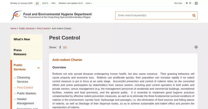
FEHD Launches Anti-Rodent Partner Awards 2026, Inviting Nominations Until February 11

Centre for Health Protection Reports Two Legionnaires' Disease Cases, Urges Public to Maintain Water Systems.
Northwest China's Xi'an plays pivotal role in boosting ancient exchanges with outside world

India and Germany sign deals to deepen economic and security ties
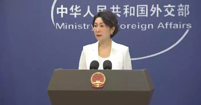
Latin Amercian countries free to choose cooperation partners: spokeswoman
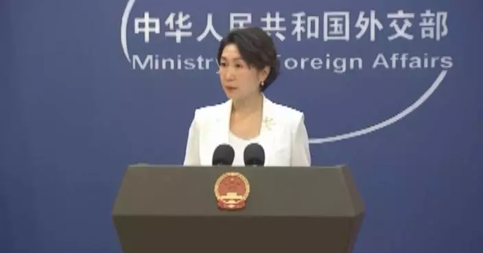
China urges U.S. to halt blockade, sanctions on Cuba: spokeswoman
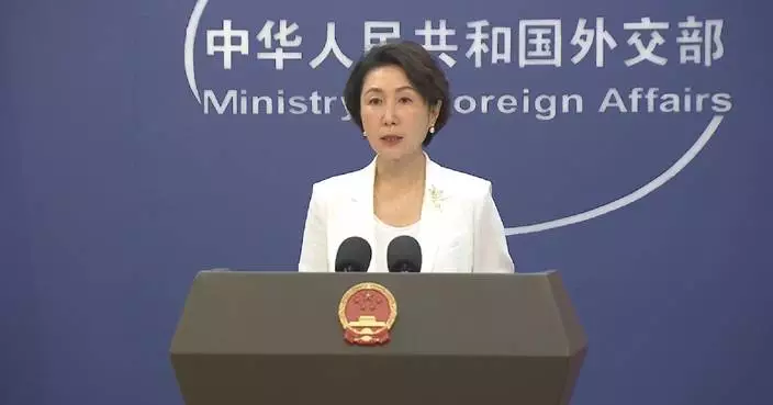
Canadian PM to visit China: spokeswoman
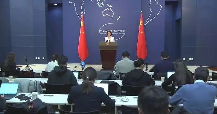
Rights, freedom of all countries to conduct activities in Arctic according to law should be respected: Chinese spokeswoman

Colebrook Bosson Saunders Launches Lana: An Adaptable Laptop Stand Engineered for Hybrid Work

Hong Kong Customs Seizes 11.5 kg of Cannabis in Two Airport Drug Trafficking Cases

China issues landmark regulation on allocation of government investment funds
Chicago's South Side suffers lingering impacts of racist 'redlining' practices

Malaysian SMEs Turn Market Turbulence into Opportunity with SME100 Awards Leading the Movement

Canadian ice master makes Olympic history with the Games' 1st indoor temporary speedskating rink
Chinese shares close higher Monday with single-day trading turnover hitting record high

Africa's megacity of Lagos reshapes its coast by dredging and puts environment at risk

Matthieu Bos Joins Global Critical Resources Corporation as Advisory Board Member

Inside the Golden Globes: The reunions and moments the telecast didn't show

US students experience China immersion journey in Yunnan

CJC Race Launches Global Game-Fi Horse Racing Platform With Real USDT Rewards
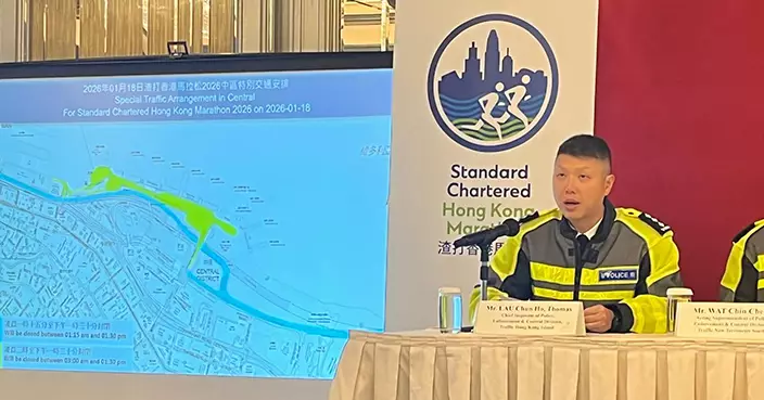
Hong Kong Marathon 2026: Temporary Road Closures and Transport Adjustments Announced for January 18.
Memorial held in Kuala Lumpur to commemorate people massacred during Japanese occupation
China's Xuelong docks in New Zealand for material supply, personnel rotation

Energy Leaders Abunayyan Holding and Nextpower Complete Formation of Joint Venture, Nextpower Arabia
Shops, bank set ablaze amid escalating unrest in Tehran

Three Redhill Peninsula homeowners fined $275,000 for unauthorized building works, court confirms ongoing enforcement actions.

Hong Kong court hearing arguments on sentencing in former publisher Jimmy Lai's case

Greater Bay Area Exhibition Launches to Highlight Opportunities for Hong Kong Youth at Local Universities
Film IP fuels expansion of consumer market

A Symbol of Prosperity to a Hopeful Action -- Reviving Hong Kong's Ocean Heritage

Celebrate Prosperity and Togetherness at The Ritz-Carlton, Bali

See top photos of stars on the 2026 Golden Globe Awards red carpet
Japanese civil groups oppose restart of Kashiwazaki-Kariwa nuclear power plant

George Floyd and Renee Good: 5 years between Minneapolis videos, and confusion has increased

Maye throws late TD pass and Patriots' defense roughs up Herbert, Chargers in 16-3 playoff win

Chargers coach Jim Harbaugh says 'Those that stay will be champions.' QB Justin Herbert isn't sure

UN court to begin hearings on whether Myanmar committed genocide against the Rohingya

CES 2026: Roborock releases the world's first robotic vacuum with wheel-leg architecture as it joins hands with Real Madrid Football Club
Chinese yuan strengthens to 7.0108 against USD Monday

Golden Globe highlights: Brazil on a streak, Amy Poehler's pod wins and Seth Rogen comes full-circle

Wolves' Edwards saw Wembanyama switch on him and thought uh-oh, before blowing by him for the winner

ChemWerth Appoints New General Sales Manager To Increase Its Generic API Footprint in India

World-renowned ice fishing festival kicks off in Hwacheon

The top photos of the day by AP's photojournalists

Venezuelans in the US are torn between joy and worry after ousting of Maduro

Celebrities wear pins protesting ICE at the Golden Globes

The Golden Globes are tonight. Here's what to look for and how to watch and stream the show

Red lines and increasing self-censorship reshape Hong Kong's once freewheeling press scene

Railroads and their regulators thwart safety fixes, costing lives

Barbie® Introduces the First Autistic Barbie Doll, Championing Representation for Children through Play

Crypto News and Data Platform Sandmark Joins Artemis SailGP as Official Partner Ahead of 2026 Season

Celebrities embrace black and old Hollywood glamour for Golden Globes red carpet

Nikki Glaser takes swings at CBS and Leo, goes gentle on Julia in Golden Globes monologue

DeMar DeRozan reaches 26,000 career points in Kings' victory over Rockets

The Latest: Golden Globes kicks off Hollywood's 2026 awards season

Complete list of 2026 Golden Globe Award winners

Patriots, 49ers, Bills, Bears and Rams advance to NFL's divisional round

Agoda Launches AI-Powered Booking Bot to Help Travelers Book with Confidence

Josh Allen carries Bills to 27-24 win at Jags for Buffalo's first road playoff victory in 33 years

March Networks Presents New Cloud Storage at Intersec Dubai, Reducing Video Storage Costs by up to 80%

Suns breeze past Wizards 112-93 for 10th victory in 13 games

Alexander-Walker's 24 points lead 6 Hawks in double figures as Atlanta beats Warriors 124-111

Budget Direct Crowned Inaugural Australian 'Insurer of the Year', Leading All Providers With Five Major Wins in the 2026 Finder Awards
Gold, silver prices surge to record highs on Monday

Hertl scores twice in 5-point game, Golden Knights beat Sharks 7-2 for 4th win in a row

Tim Hardaway Jr. scores 25 points, Aaron Gordon adds 23 and Nuggets beat Bucks 108-104


